


How influencers create maps that start conversations
Graphic designer, geo-influencer and Mapcreator ambassador Frans van der Vleuten uses maps to turn curiosity into conversation. We spoke with him about map design, social media, and how Mapcreator helps him create accurate, flexible and design-driven maps faster.
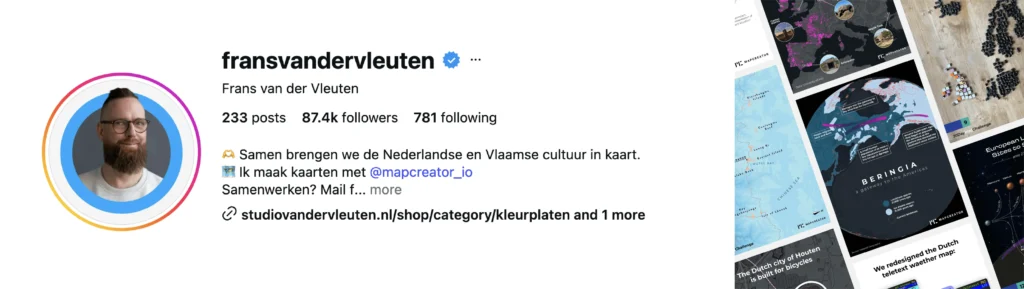
Built around maps, not around buzzwords
For Frans, maps are more than a way to show where something is. They are a way to make people curious.
Frans is a graphic designer and geo-influencer who works exclusively on maps and map-related projects. His work often combines geography, culture, humor and recognition: the kind of maps that make people stop scrolling, have them wonder, and immediately want to share their opinion.
That is also why maps work so well online. People do not just look at a map. They place themselves in it.
“Maps give people context, but they also give people something to react to.”
A map can make someone recognize their hometown, disagree with a regional boundary, laugh at a familiar cultural habit or add their own local knowledge. That is when a map becomes more than an image. It becomes a conversation.
For Frans, that sense of recognition is an important part of mapmaking. His maps are designed to be clear, readable and accessible, but they are also allowed to be playful. Some topics are meant to be taken with a grain of salt, and humor helps make the map both educational and engaging.
From idea to map, faster
Frans’ map ideas often start with curiosity. He might read an article, hear a song, notice a cultural pattern or come across a dataset and think: why has this never been mapped?
Before using Mapcreator, turning those ideas into finished maps was much more time-consuming. His workflow was a mix of vector stock images and basic QGIS output. As a designer without a GIS background, that meant he often had to work around technical limitations before he could even get to the creative part.
Stock images could be unreliable and inflexible, and GIS exports still needed a lot of editing before they matched the design he had in mind. The process worked, but it was not ideal for someone who wants every map to be accurate, easily editable and visually strong.
Mapcreator changed that workflow.
With Mapcreator, Frans can build a reliable geographic base much faster. That gives him more time to focus on what makes the map stand out: the concept, composition, colors, labels, styling and final design.
The result is not just a more efficient process, it is a better starting point. His maps can be more accurate, more professional and more creatively ambitious, without forcing him into a technical workflow that slows down the design process.
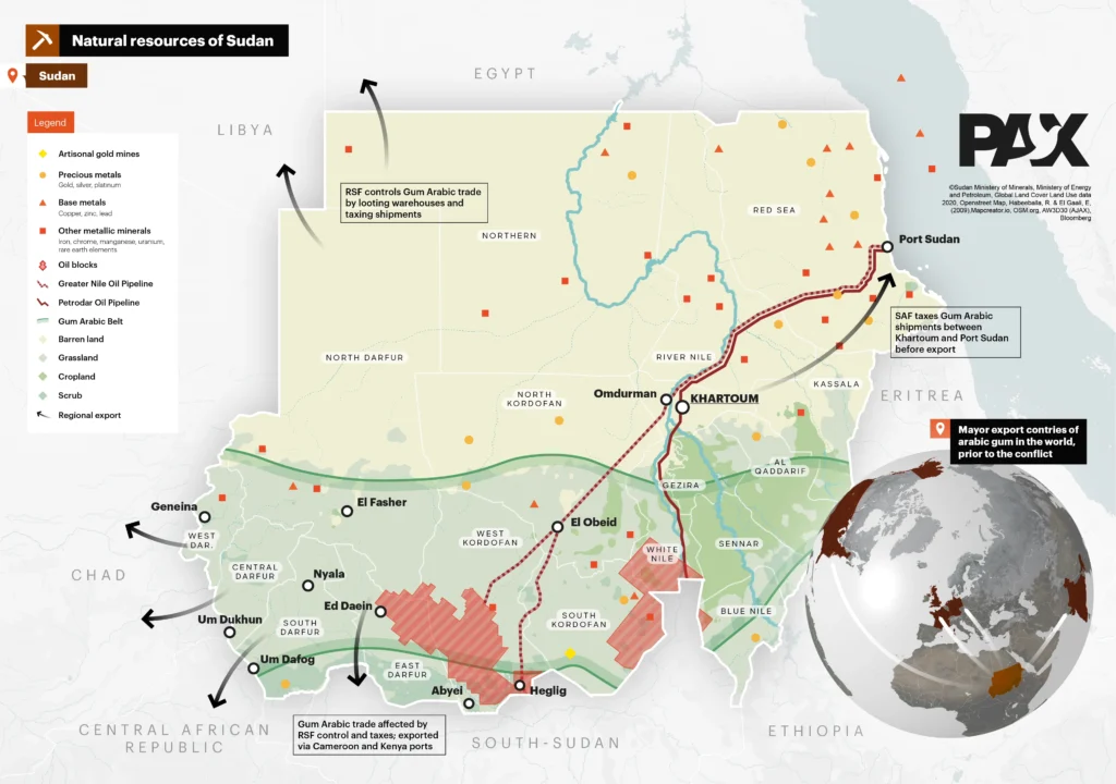
Design freedom with vector output
For Frans, one of the most valuable parts of Mapcreator is the vector output.
As a designer, he wants control. Not just over the general appearance of the map, but over the layers, shapes and details that make the final design work.
“I want the design to lead the map, not the limitations of the tool.”
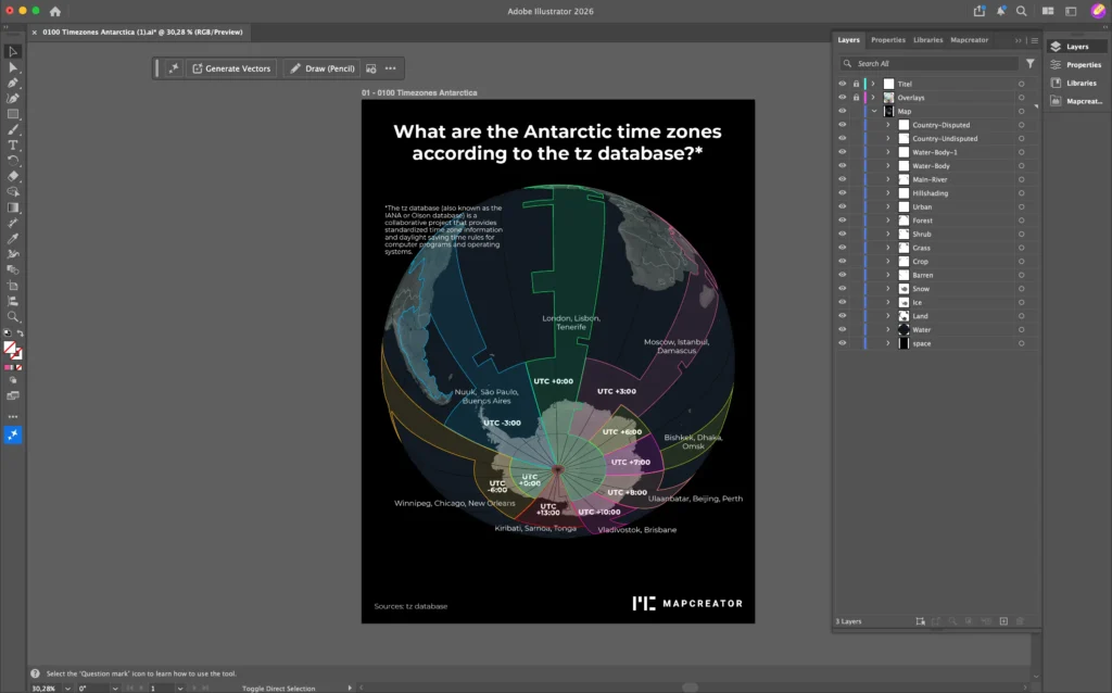
That is where Mapcreator fits naturally into his workflow. He can create the map inside the tool, export it as a vector file, and then continue refining the design in editing software such as Adobe Illustrator.
This is especially useful for static maps, print projects and highly designed social media visuals. Mapcreator gives him the accurate geographic foundation, while the vector export gives him the freedom to adjust every layer and shape afterwards.
For a designer who likes to experiment with unusual styles and unexpected topics, that flexibility is essential.
Behind the map: designing Europe for print
For Frans, one of the most valuable parts of Mapcreator is the vector output.
One project started with a clear client request: a clean map of the European Union, designed for print.
The first step was setting up the format correctly. Because the map needed to be printed, Frans started with a 60 by 90 cm canvas in Mapcreator. From there, he chose the Globe projection. Even though the edge of the globe would not be visible in the final design, the projection helped create the geographic look and feel he wanted.
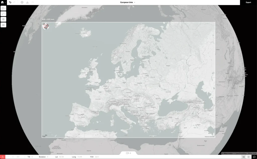
After positioning Europe inside the canvas, he started building the map with custom layers. First, he added all countries in the world to create a green base color for the non-EU states. Then, he added the European Union as a separate set of countries in blue.
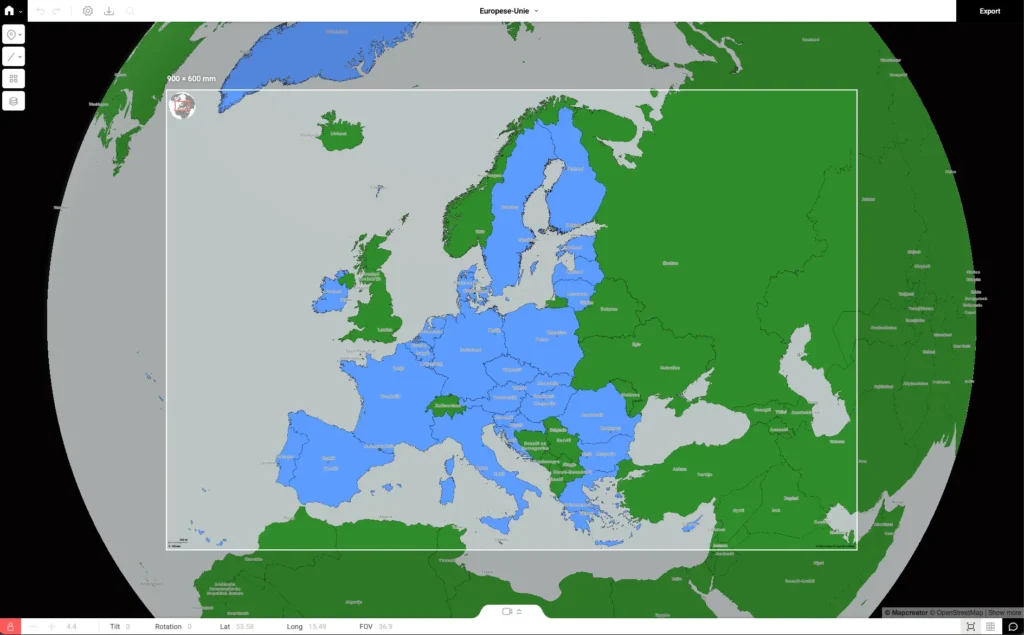
At that point, the main map structure was already built inside Mapcreator. The tool helped him quickly create the right canvas, projection, geography and country layers. From there, he could move into the final design phase.
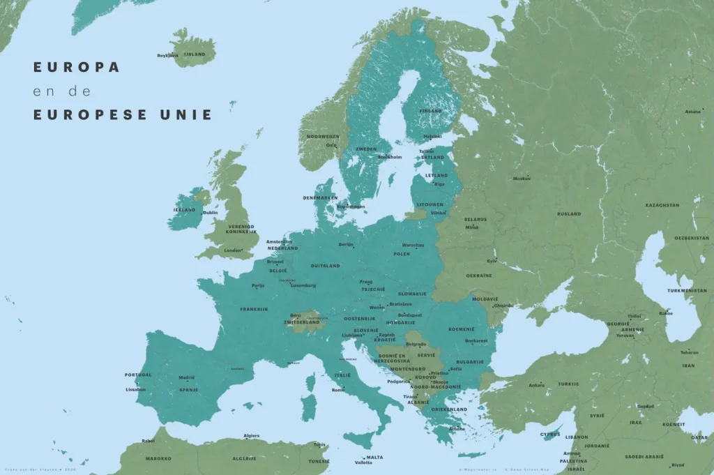
After exporting the map, Frans manually adjusted the country and city labels to get the composition exactly right. He also moved the water layers to the top, creating a stronger visual effect for the rivers. Finally, he added the title in Adobe Illustrator. This could also have been done inside Mapcreator, but Illustrator was the fastest option for this final design step because it is already part of his editing routine.
This project shows how Mapcreator can support a professional design process without replacing the designer’s own style. It helps create the accurate map foundation quickly, while still leaving room for detailed creative control afterwards.
More room for ambitious map ideas
For Frans, Mapcreator has made mapmaking feel less limited. Instead of spending too much time trying to prepare base maps, finding correct stock files or working around technical barriers, he can start from a cleaner and more flexible foundation.
‘’Mapcreator makes room for more ambitious ideas.’’
The globe and globe-to-vector options are good examples. Frans sees showing countries and areas on a sphere as a powerful way to represent geography accurately, and Mapcreator makes that type of output easier to create and reuse in a design workflow.
Most of Frans’ work is still static, but he is also looking forward to exploring animated maps and video features in Mapcreator. For someone who is always experimenting with new formats, that opens up another way to turn geography into stories. Maps can inform, surprise, entertain and start discussions. But to do that well, they need both a strong geographic foundation and the freedom to become something visually memorable.
That is where Frans’ work and Mapcreator come together: accurate maps, flexible output and enough creative control to make people look twice.
Don't forget to share this post!
Deeper understanding of maps
For mapping tips, updates, and deep dives for the cartographically curious.
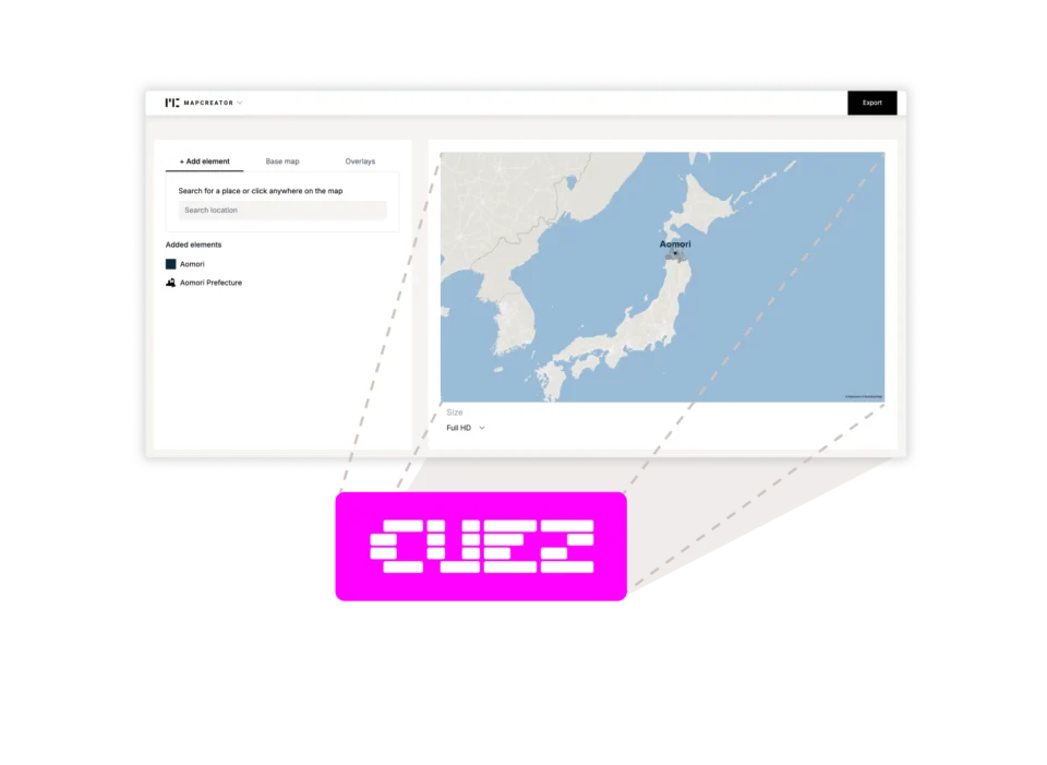
Locator maps inside your CUEZ rundown
The best newsroom tools are the ones that fit naturally into the way journalists already work. That’s why we’re excited...
Read more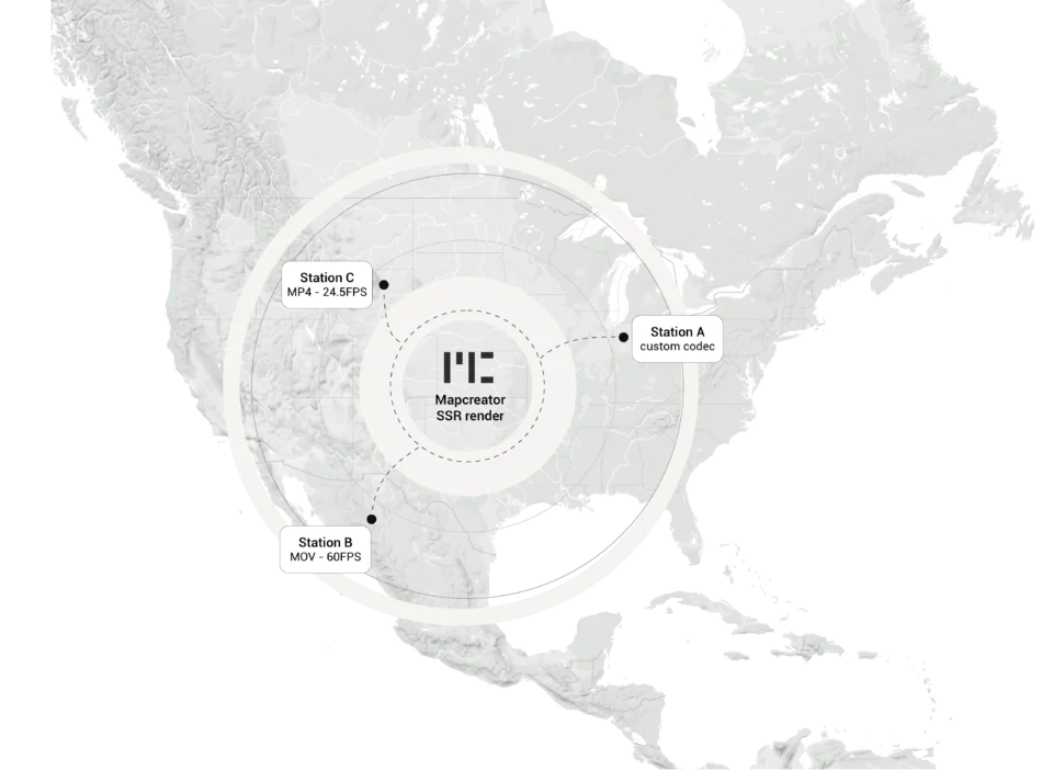
Cloud Rendering: size and speed do matter
For years, Mapcreator has made it easy to get maps out of the tool in whatever format your production workflow...
Read more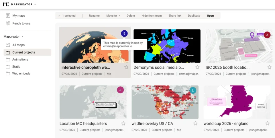
Co-editing is here: Maps now move between teammates
Some map designs start with one person and stay that way. Nice and tidy. Others? Not so much. Maps rarely...
Read more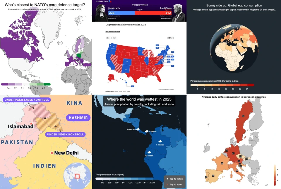
Choropleth maps in Mapcreator just got easier
A choropleth map is a color-coded map that shows how values differ between geographic areas, such as countries, regions, or...
Read more
Why bringing your own data can make for better maps
Some maps do not begin as maps. They begin as bits and pieces of information waiting to make sense together....
Read more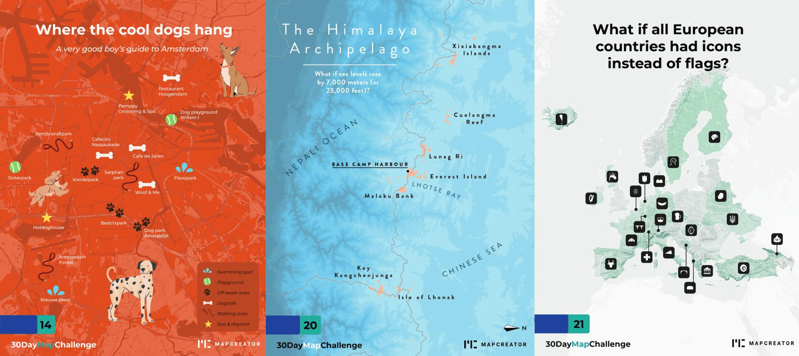
What the 30 Day Map Challenge taught us about creativity (and Mapcreator)
Every November, cartographers, designers, and data nerds gather around the same global campfire: the 30 Day Map Challenge. The rules...
Read more


