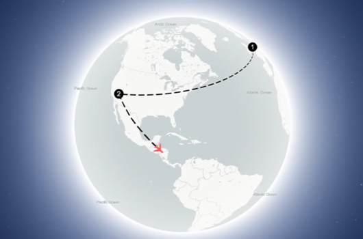
Back
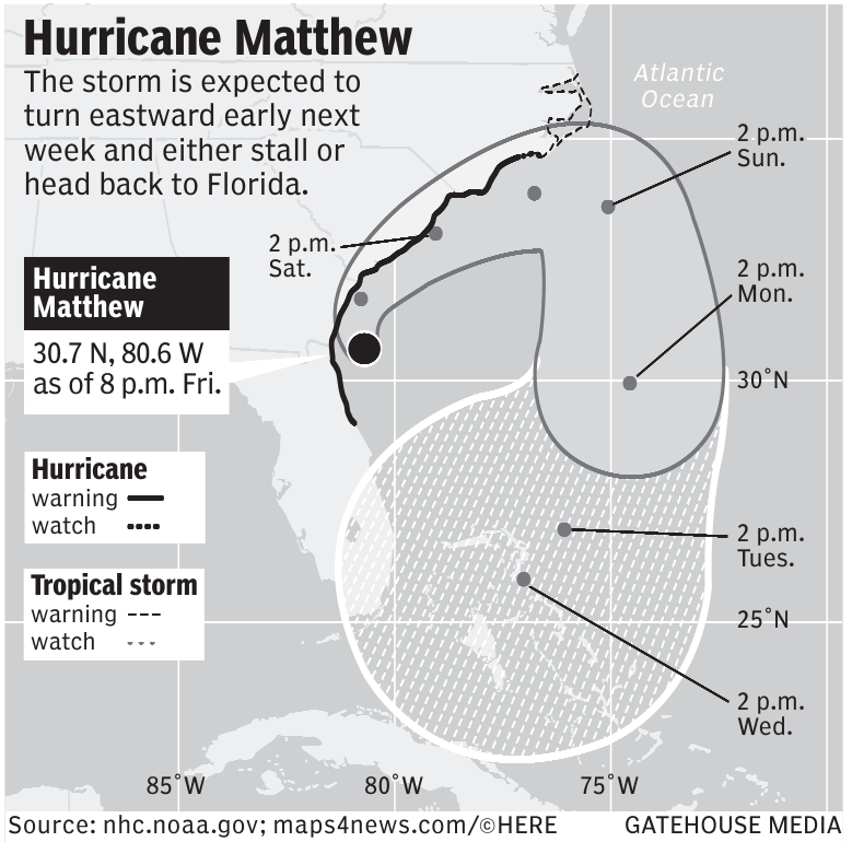


Gatehouse Media – Course of Hurricane Matthew
This image is a map depicting the projected path of Hurricane Matthew. The hurricane was expected to turn eastward early next week and either stall or head back to Florida.
The shape of the hurricane is outlined on the map, including specific tracked times from 2 p.m. on Saturday until 2 p.m. on Wednesday. There is also a grid placed over the map, including coordinates like 85 West, 80 West, 75 West, and 30 North.
The map also provides areas labeled with Hurricane warning (marked with a black solid line), and Hurricane Watch (marked with a thick dotted line). The tropical storm is marked with a dashed line for watching and a thin dotted line for warnings.
Similar Data visualization maps