Maps that make your campaigns stand out
Mapcreator helps marketers, advertisers, and creative teams design branded maps for campaigns that connect — from personalized direct mail to interactive stories and social content.








Personalized maps for direct mail
Cut through the noise of ordinary mail with personalized maps that make your campaigns memorable. Showcasing a personalized map in your direct mail marketing can help you generate a 40% higher response rate and increase foot traffic! Highlight nearby locations, include driving time or distance, and make your message personal with dynamic data visualization. With variable map generation, every mail piece is unique.
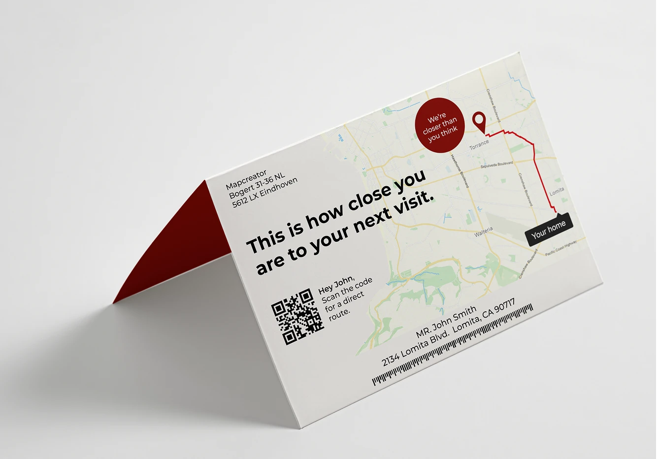
Turn location into engagement
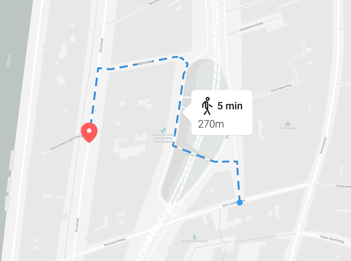
Show each recipient how close they are to your business. Add maps that display the route from their home to your nearest location, complete with distance and travel time. Simple, personal, and proven to increase foot traffic.
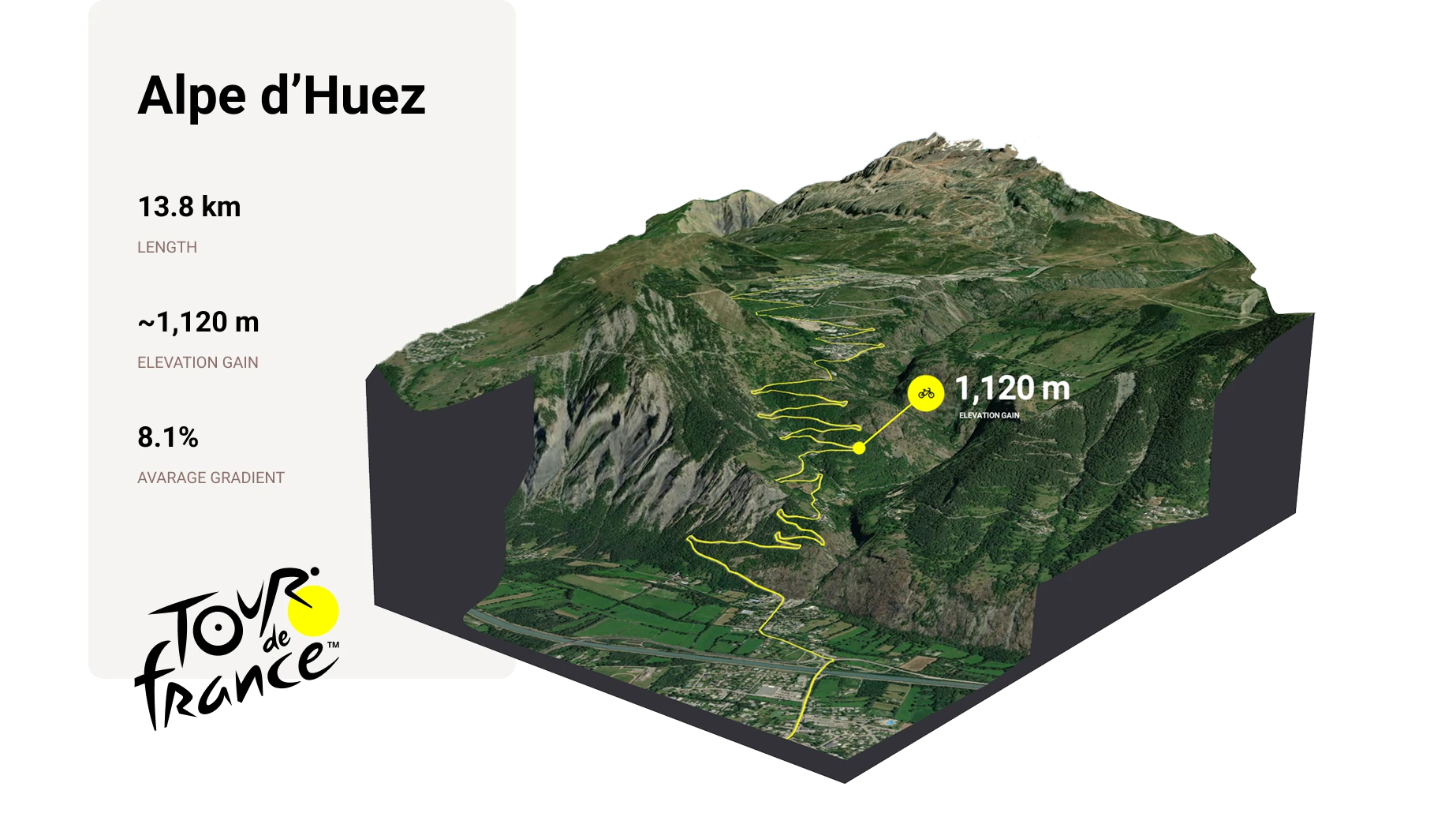
Creative maps that match your brand
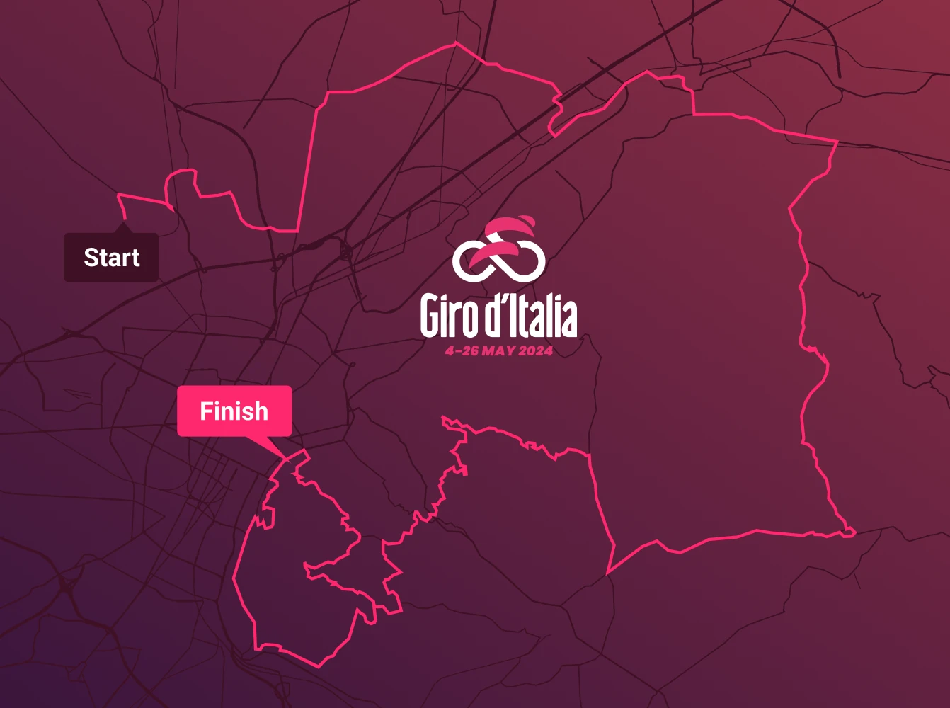
Customize every map to fit your campaign’s look. Adjust colors, icons, labels, and typography to match your identity or client guidelines. Need more impact? Add 3D or animated map styles for extra attention in print or motion campaigns.
Data precision, marketing speed
Upload your data in CSV, XLSX, or GeoJSON format, Mapcreator automatically geocodes and visualizes your addresses. Our scalable system can deliver thousands or even millions of high-resolution maps quickly, so you can meet campaign deadlines without compromise.
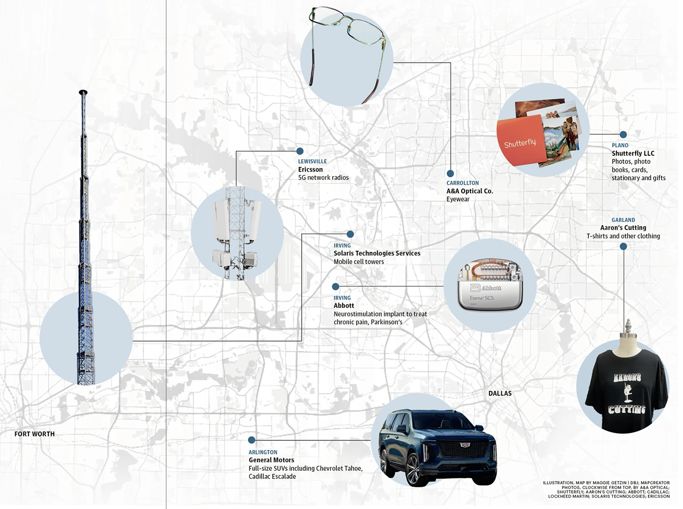
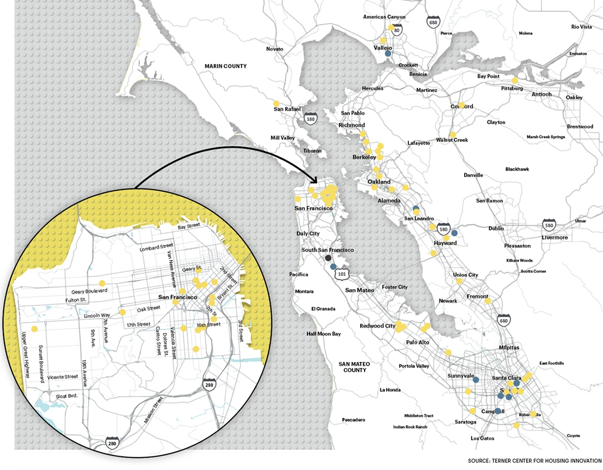
Why marketers choose Mapcreator
Mapcreator empowers media and marketing teams to create custom maps that attract attention, drive engagement, and convert. Whether you’re running a direct mail campaign, designing for print, or creating interactive digital content. Allow your maps to tell stories that move people.
Map smarter now.
No spam, just high-quality mapping insights. Unsubscribe anytime.
Frequently asked questions
Got a question? Start with these essential FAQs, or explore our Knowledge Base for more Mapcreator guidance.
How is pricing handled for mailing campaigns?
Maps for mailing campaigns have their own pricing structure and are separate from the Mapcreator mapping tool. Pricing is based on the number of addresses in your campaign. Orders below 100,000 maps include a €1,150 startup cost per order, plus volume-based pricing per map. Larger quantities receive lower per-map rates, with additional discounts available above 5 million maps. Custom map design services are available on request.
Can we create personalized maps for each customer or recipient?
Yes. Mapcreator can generate variable maps, with each customer receiving a map based on their own location. For example, you can show the nearest store, route, distance, travel time, or service area to make direct mail and digital campaigns more relevant and personal.
Can we generate maps from a customer or mailing list?
Yes. You can provide location data in formats such as CSV or XLSX. Mapcreator can geocode addresses, visualize each record, and generate high-resolution map images at scale for print, digital, or campaign workflows.
Can maps match our campaign, brand, or client style?
Yes. Maps can be customized with brand colors, fonts, icons, labels, route styling, and custom map styles. You can also use interactive, 3D, or animated maps when you need more visual impact for landing pages, social content, presentations, or motion campaigns.
How do personalized map campaigns fit into production workflows?
For large variable-map campaigns, Mapcreator can generate map images for each record and deliver them through a secure FTP server. This makes it easier to connect personalized map visuals to print production, direct mail, or marketing automation workflows.