The Giro d’Italia 2024 is just around the corner and it’s time to start planning your coverage for this year’s race. From static, interactive or animated maps – having access to accurate and up-to-date information about the race is essential. This is why we are happy to announce that our ready-to-use maps are back! All 21 stages can now be found in our tool and are available to be used, customized and animated. Reporting on grand cycle tours has never been easier.
Report on the Giro 2024 – Fast & easy
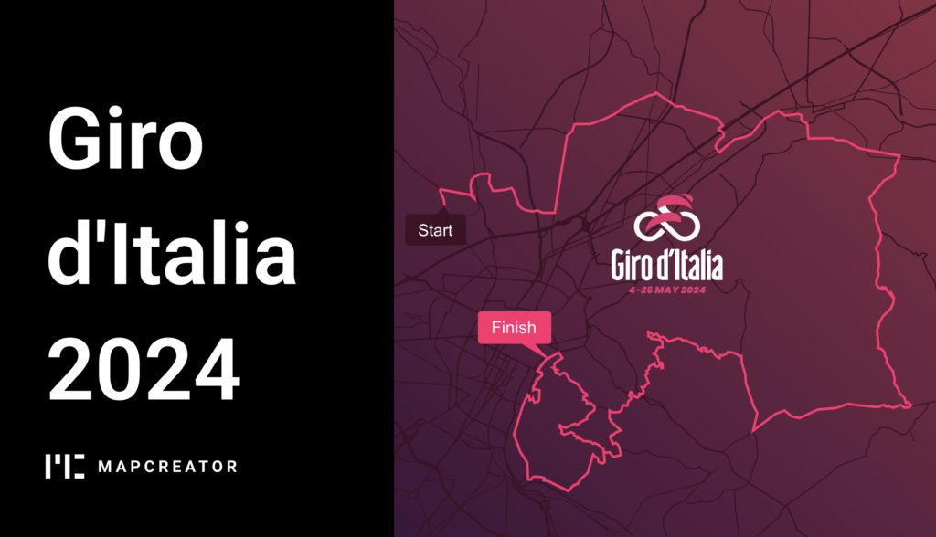
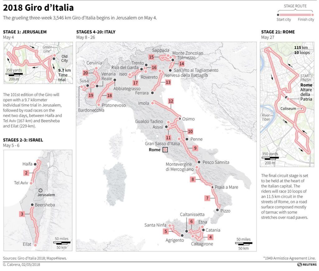
Our ready-to-use maps are the perfect solution to broadcast or publish the Giro d’Italia 2024. All maps include stage number, the starting point, ending point and the total amount of KM that the route entails. On the map itself, the start and finish points are marked along with a scale bar and an inset map displaying the exact location of the route. Allow your viewers or readers to get a quick understanding of the race and the challenges that the riders will face.
Customization in seconds
Every publication and broadcast is unique, which is why we offer customizable features for your maps. Change the colors, fonts and CSS, and markers to fully match your branding. And there’s more! From elevation layers, satellite mapstyles, 3D terrain or animations we’ve got you covered for the Giro d’Italia 2024!
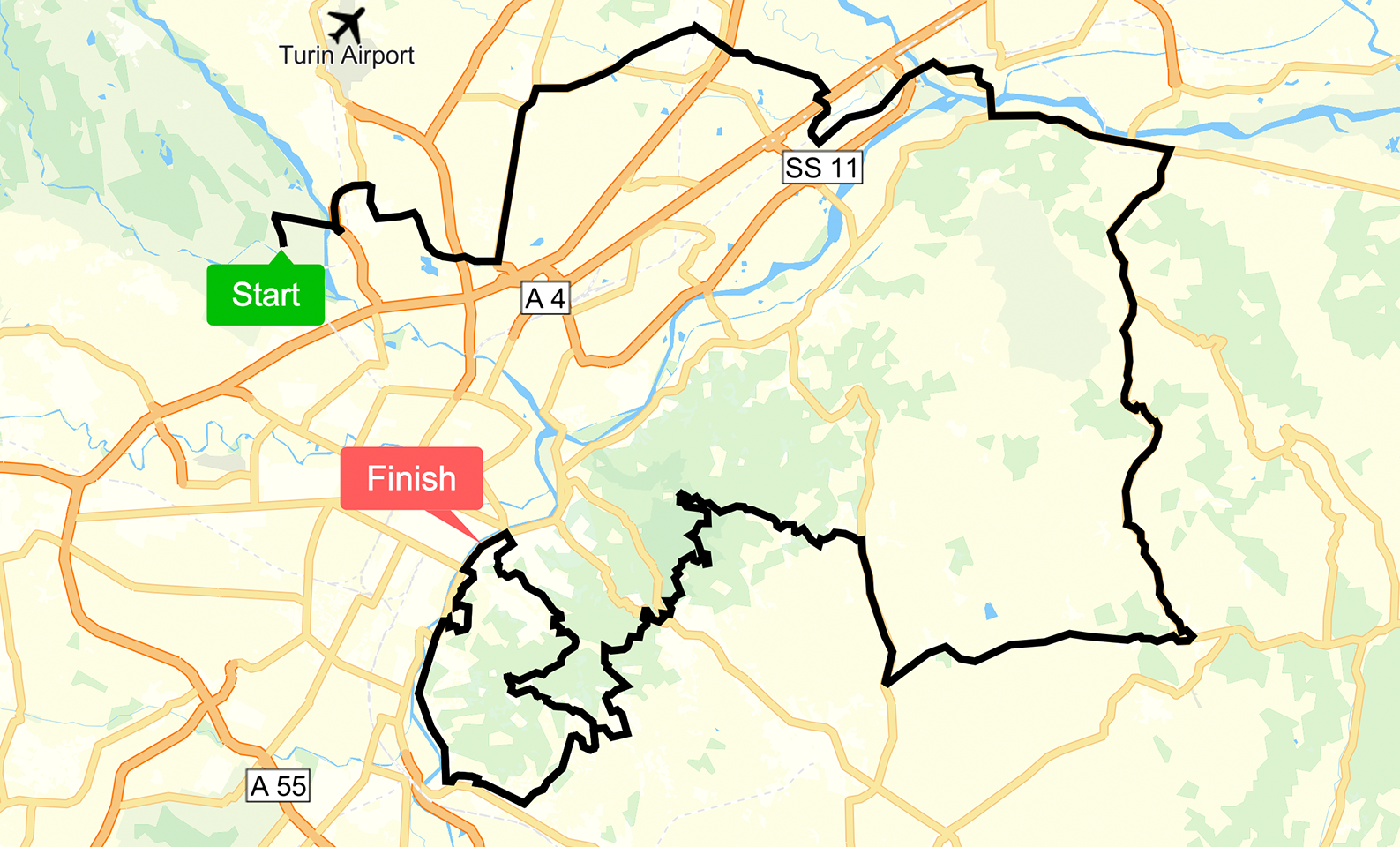
Animate your routes
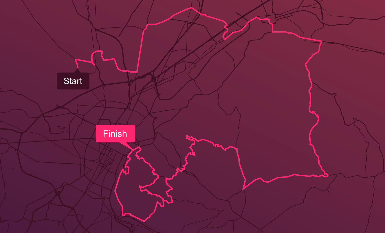
Do you still think map animations are hard and complex? We will happily prove you wrong. Even though we love a static map; why stop there? With Mapcreator, animated maps will take your readers or viewers on a journey with you! Create dynamic route maps and animations in one tool and never worry about post-production. Let icons seamlessly move along the routes, having a bicycle icon visualizing the riders. Share, embed and broadcast your map animations without a hassle. Try it out for yourself.
Where to find these ready-to-use maps?
First you have to register to Mapcreator, or if you already have an account you just open the tool, from here you can navigate to the Mapcreator logo in the top left corner of your screen. Here a pop-up will open showing your user maps and below that, the ready to use maps. In this folder you will find all the maps we fully prepped for you.
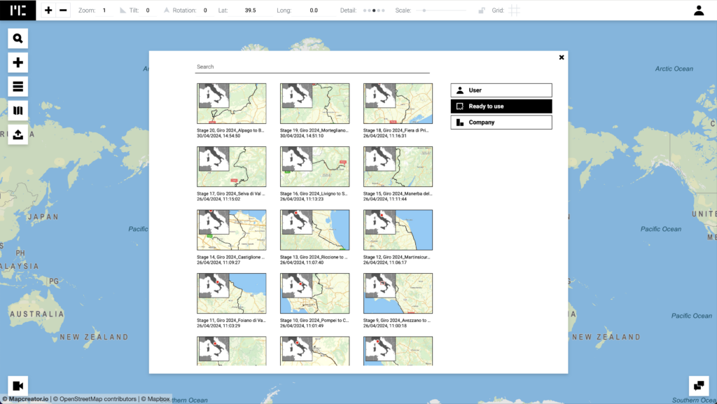
What are you waiting for? Provide your readers or viewers with a visual overview of the race as they can follow every detail closely. Our accurate, up-to-date, fast and easy to use maps suit every format, from PDF (CMYK) for print, SVG for digital publishments or iframes, WEMB, MOV, MP4, image sequences and more!
Start creating your coverage of the Giro d’Italia 2024 today. With our ready-to-use maps you can take your coverage of this great race to the next level.


