Aamulehti – New building projects
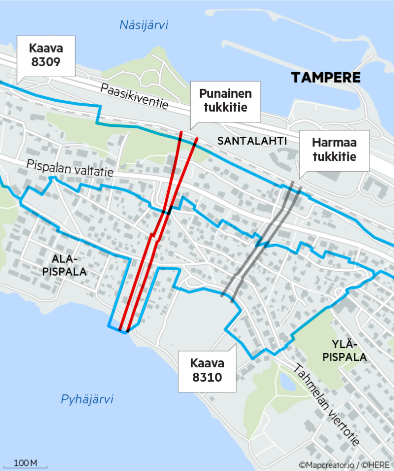
The image is a map of the city of Tampere, Finland. It includes labels in Finnish of various features of the city, such as the water label for Näsijärvi and Pyhäjärvi, and the Santalahti location label.
The blue line in the map refers to the Pispalan highway, as labeled in the left side of the map. The red line refers to a current road block, and the gray line states that there is a dead end.
Other added annotations like Kaava 8309 and Kaava 8310 most likely refer to house or location numbers related to the news story.
The map has a scale at the bottom labeled as “100 M”.
