We just do maps. And that’s the point.
A good map often looks effortless, and that’s the whole point. But behind that simplicity are countless cartographic choices, design decisions, data layers, styling rules, and workflow details.
That is where our decades of cartographic experience make all the difference. The longer you work with maps, the more you realize how much care they actually need.
So we keep our focus there. Not because we can’t think of anything else to build. Not because we don’t like shiny new ideas. But because maps are already complex, powerful, and important enough to deserve our full attention. And honestly? We like it that way.

Built around maps, not around buzzwords
For the viewer, a map should make things easier to understand. A location gets context. A route becomes clearer. A pattern suddenly becomes visible. A story is easier to follow because the place is actually visible. But creating that clarity takes countless small decisions.
Which labels appear first?
How much detail is too much?
Which roads matter for this scale?
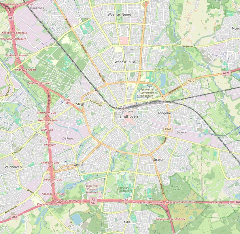
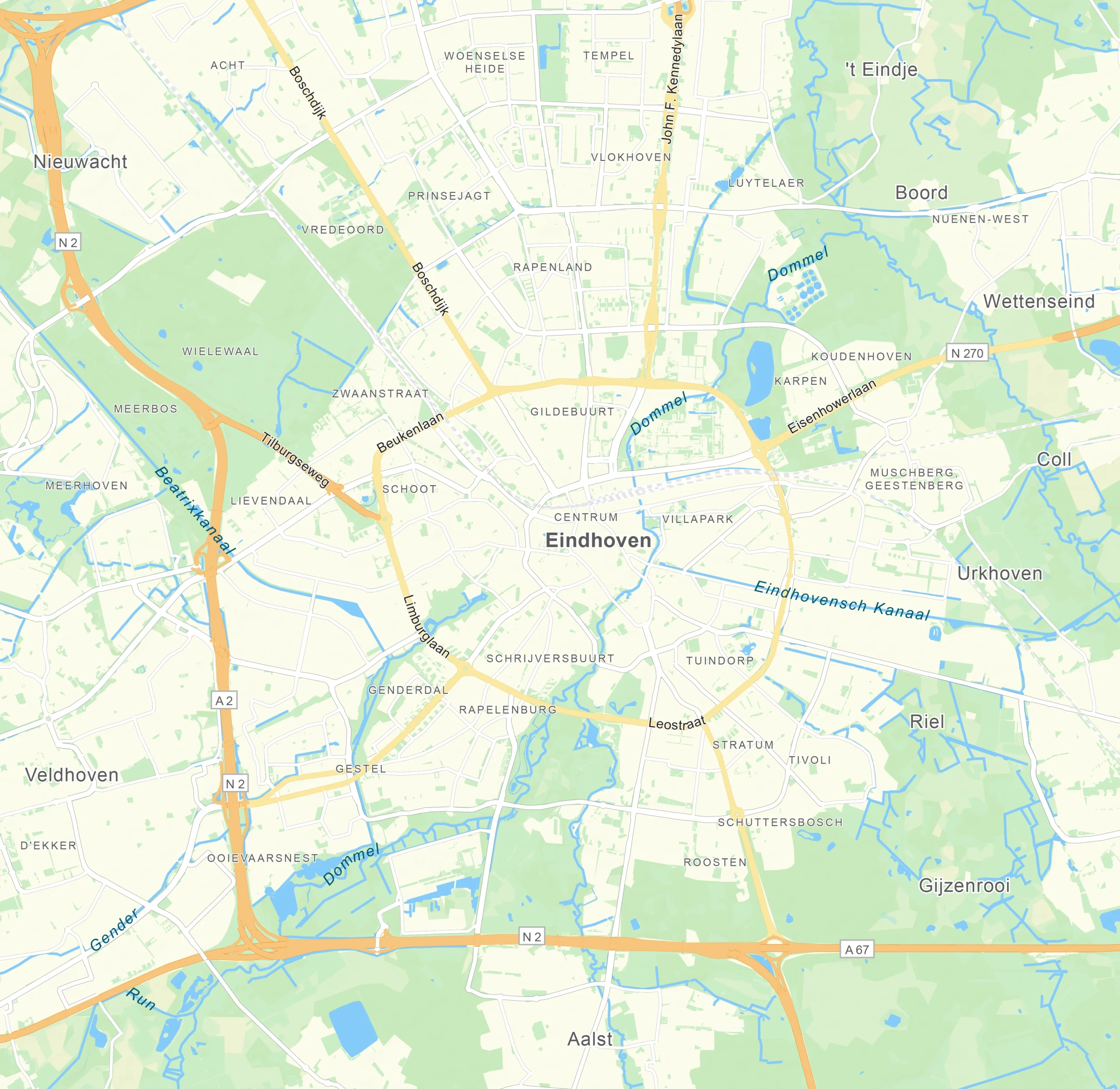
How do you make a city readable without turning the whole map into spaghetti?
How do you keep the design on-brand, accurate, fast, and easy to export?
These are the kind of things we think about. A lot.
Mapcreator is built by people who understand that a map is more than just a graphic. We see them as tools to explain the world, inform your audience, and support better decisions. Whether they’re used in a breaking news story, a tourism campaign, a real estate report, a TV broadcast, or a government project, maps need to be clear and reliable.
No pressure, right?
Built on decades of cartographic experience
Our story didn’t start with a browser-based tool or a sleek interface. Long before Mapcreator became Mapcreator, our technology grew out of Falkplan-Andes, known for their highly recognizable, trusted physical paper maps and digital geodata. Back then, maps were hand-drawn, checked, adjusted, printed, and probably surrounded by a lot of coffee. In the 1990s, Andes began automating and digitizing that process, even producing a full car atlas automatically: more than 530 maps across 1,000 pages, done within hours instead of weeks.
That experience shaped the idea behind Mapcreator: if professional map production could be automated, why not make it accessible to the people who need maps every day?
After early versions like Maps4News, built especially for fast-paced newsrooms, Mapcreator grew into a tool used across industries, from media and tourism to real estate, government, and TV. In 2018, we returned to the name Mapcreator, which had actually been our company name all along.
Why focus matters
The reason we keep coming back to the same point, we just do maps, is because focus makes the product better.
Since we only focus on maps, we notice things others might miss. A locator map for real estate has different needs than a tourism map. A broadcast animation has a completely different rhythm than an animated map for breaking news. We understand why a newsroom wants speed, why a designer wants control, why a government team wants reliability, and why everyone wants the labels to please behave for once.
Maps are not a side feature for us. They are the whole thing. Our product decisions are not built around selling more and more unrelated tools. They are built around making map creation easier, faster, more flexible, and more useful in the workflows people already have.
We integrate, rather than interrupt
Our approach is simple: Mapcreator should fit into the way you already work. Hence we also offer our tool within your everyday production tools.
For newsrooms, Mapcreator can integrate directly into your NRC system, making it easier to create ready-to-air locator maps without leaving the newsroom workflow. We support ENPS and are OGraf compatible, because broadcast teams need tools that understand speed, templates and deadlines.
For designers and motion teams, our extensions for Adobe Illustrator and Adobe After Effects bring map creation into the creative tools they already use every day. No awkward detours. No rebuilding from scratch. Just more control over map design and animation, right there where the creative work is already happening.
For developers and technical teams, our map tiles and SVG render plugin make it possible to bring Mapcreator’s cartographic output into custom platforms, apps, and workflows.
In other words: we’re not trying to replace everything around you. We’re here to make the map part work really, really well.
We just do maps
Of course, “just maps” is a little bit of a joke, because maps are never just maps.
They can explain a crisis, guide a tourist, show election results, compare property locations, visualize risk, support investigations, or help someone understand a story in seconds. But the philosophy still stands.
We don’t need to become ten different products. What we do is to keep improving the thing we know best. Mapcreator is not trying to be your everything tool. We’re not here to take over your entire workflow, replace your design software, or sell you a bundle of add-ons you don’t need.
So yes, we just do maps.
And we’ll happily keep doing them.
Don't forget to share this post!
Deeper understanding of maps
For mapping tips, updates, and deep dives for the cartographically curious.
Why bringing your own data can make for better maps
Some maps do not begin as maps. They begin as bits and pieces of information waiting to make sense together....
Read more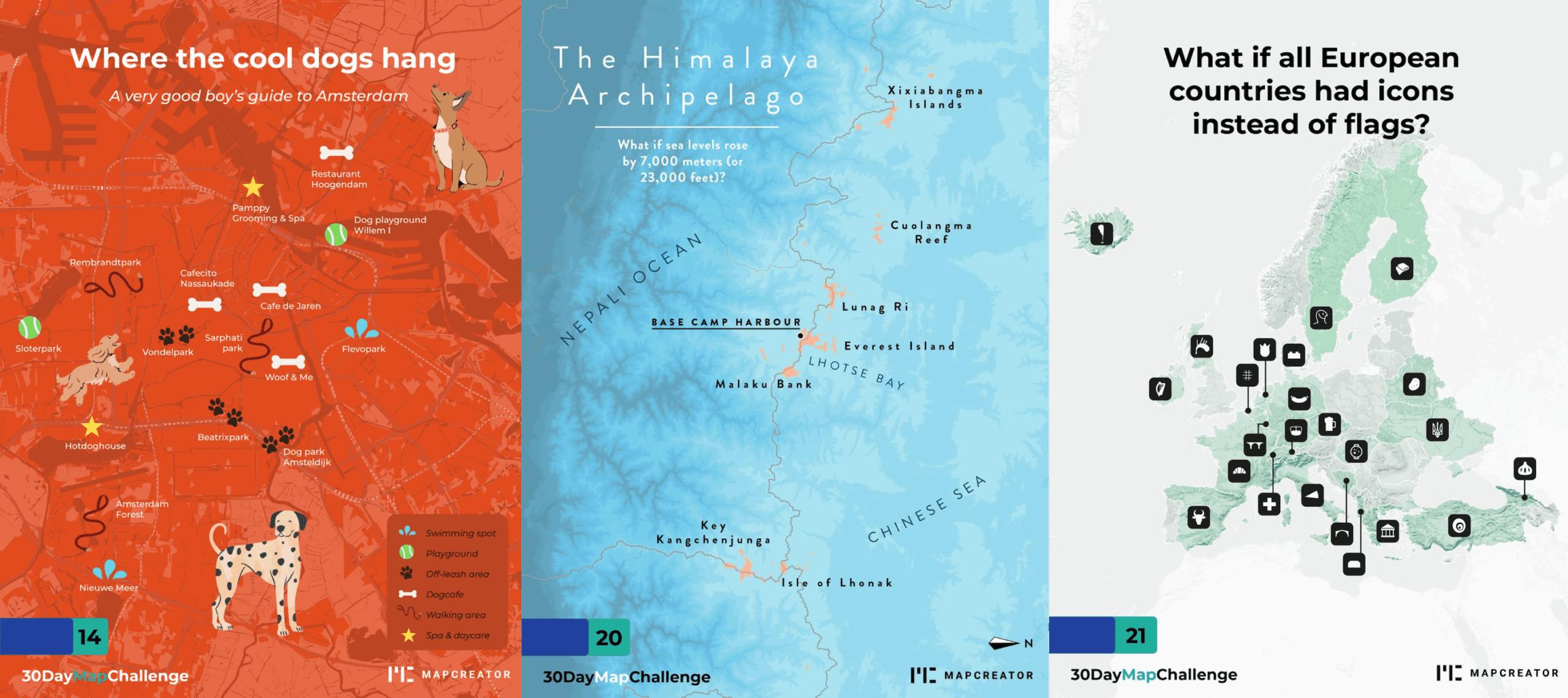
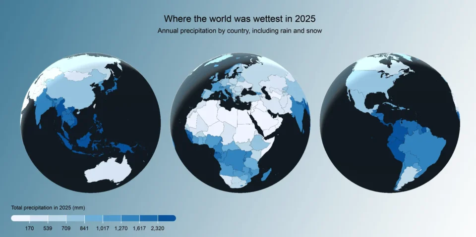
What the 30 Day Map Challenge taught us about creativity (and Mapcreator)
Every November, cartographers, designers, and data nerds gather around the same global campfire: the 30 Day Map Challenge. The rules...
Read more
How static, interactive, and animated maps win hearts (and clicks)
There’s a lot of competition for attention out there. Cat videos, doomscrolling, the latest season of [enter your favorite season...
Read more
3D Terrain — Take your mapping projects to new heights
Are you ready to take your map animations to a whole new level? Get ready to elevate your mapping projects...
Read more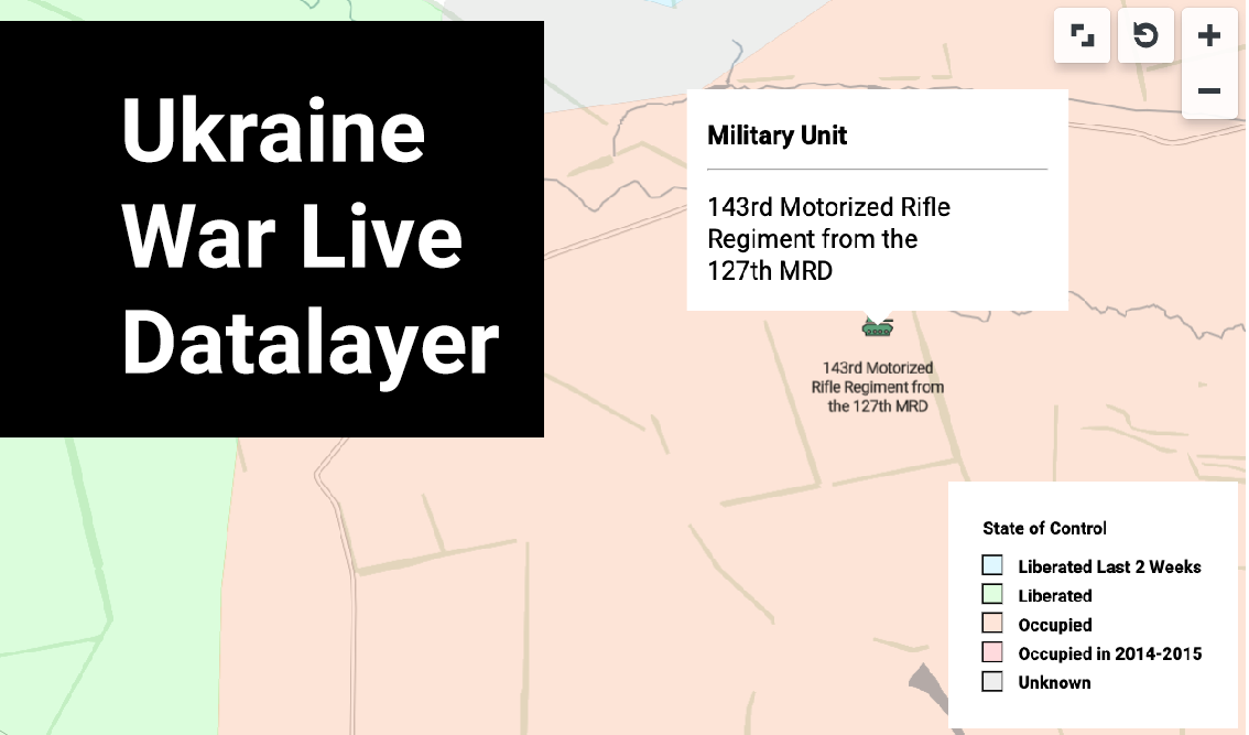
Visualize the Ukraine War: Explore the new live data layer
Covering the war in Ukraine is of paramount importance as it sheds light on one of the most critical geopolitical...
Read more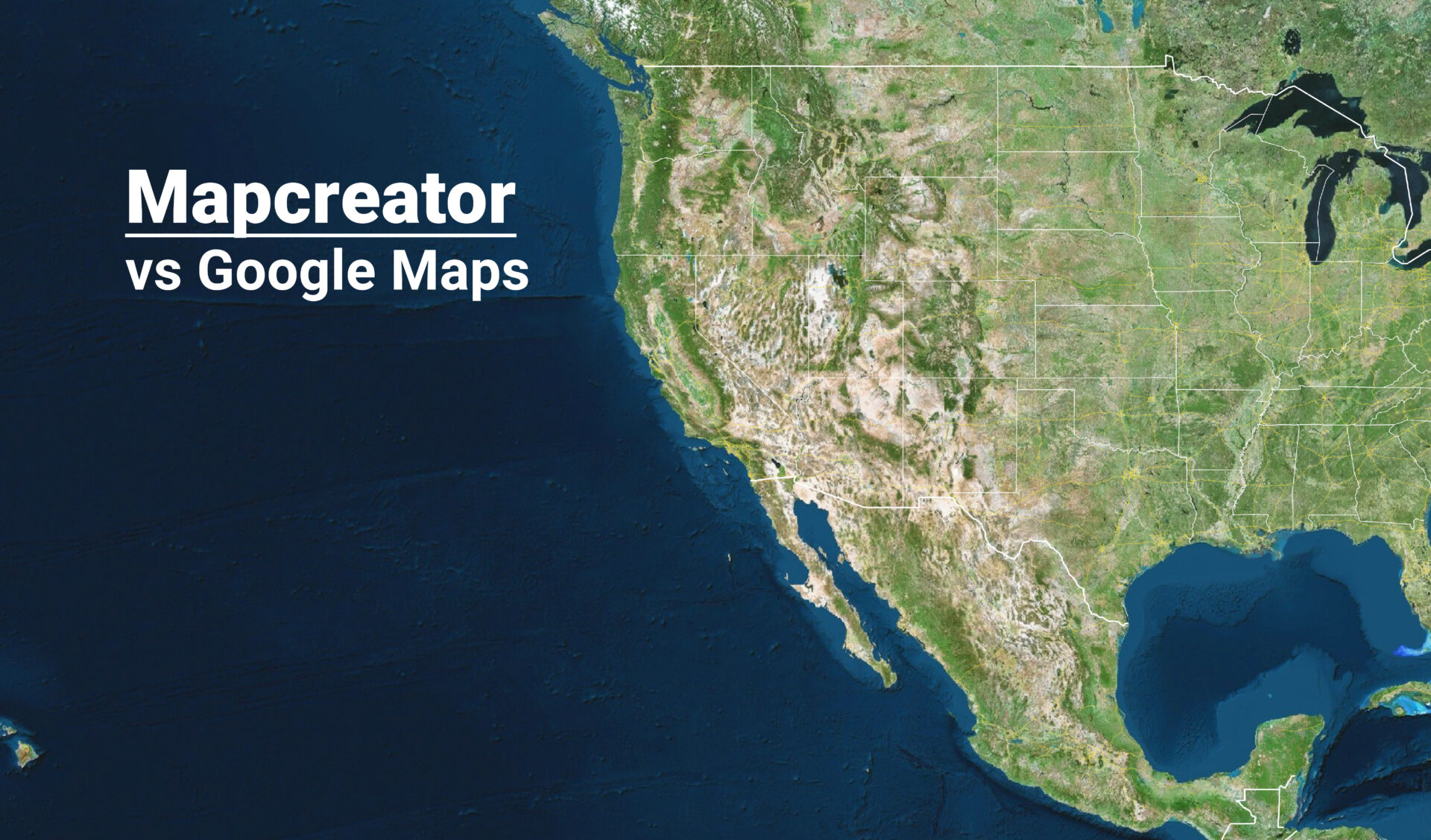
Mapcreator, the alternative to Google Maps
When it comes to mapping solutions, Google Maps is an excellent navigation tool. But when it comes to a full...
Read more