Blog

New feature ✨

Upload your own SVGs in Mapcreator

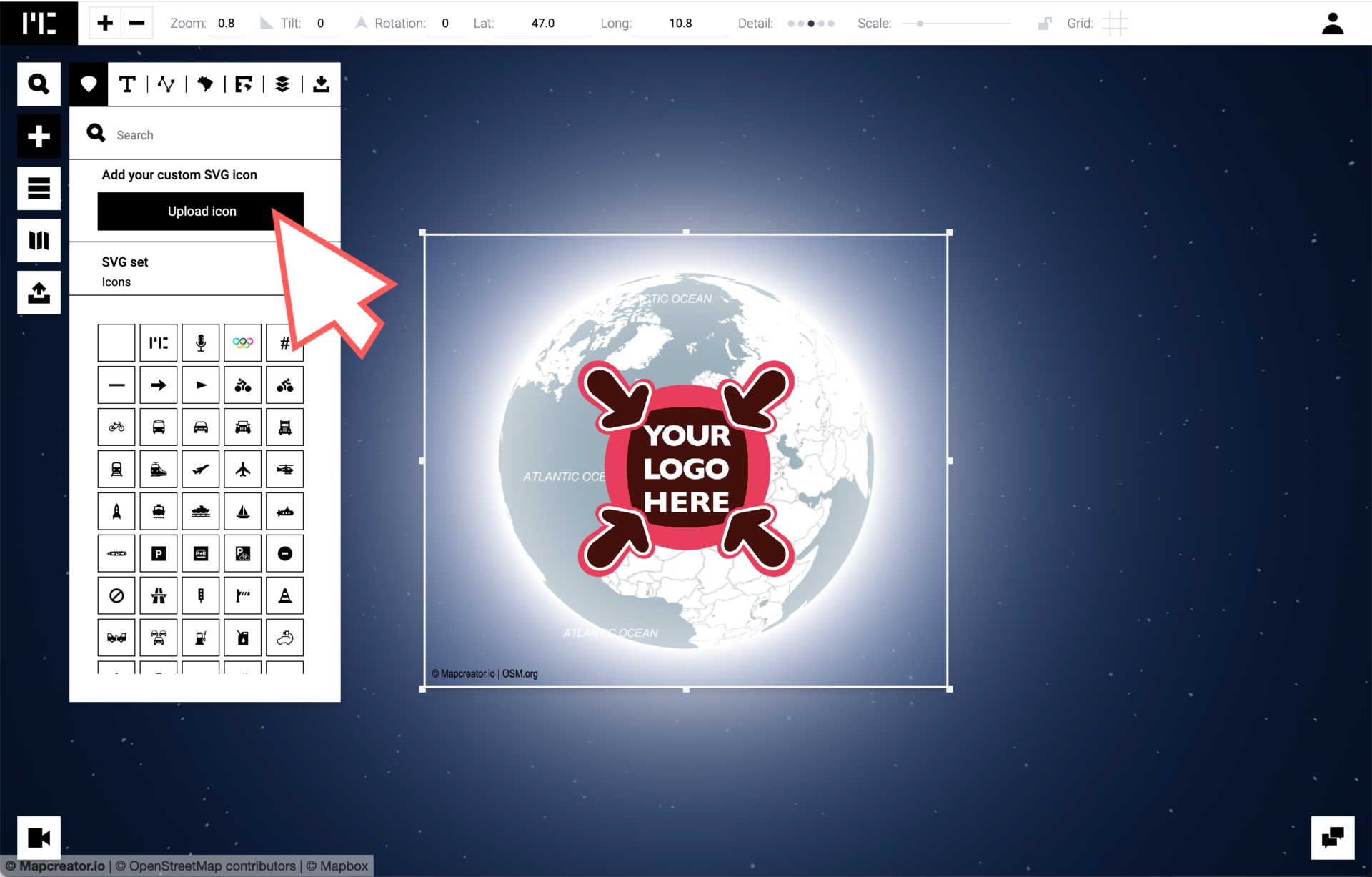
Exciting news for all Mapcreator users! We’re thrilled to introduce a new feature that lets you upload your own SVGs. From images, icons, company logos or even entire maps, with this new feature there is nothing holding you back. All users can now upload their own SVGs in case the extensive icon library of Mapcreator […]

Read more

Discover All Stages of the Tour de France 2024 in Mapcreator

The Tour de France 2024 is fast approaching, and you can now start creating maps for your coverage on this year’s race. That’s why we’re excited to announce that our ready-to-use maps are now available! Create static, interactive, or animated maps; with our ready-to-use maps you will always have access to accurate and up-to-date information […]

Read more

Mapping Hurricane season – Live Data Layer

With Hurricane season just around the corner, we are here to help you remain proactive in providing the most accurate and up-to-date information. With access to the most recent Hurricane data sourced from the National Hurricane Center (NHC) and the National Oceanic and Atmospheric Administration (NOAA), you have the opportunity to play a crucial role […]

Read more

Olympic Torch Relay Route 2024 – Ready to use maps

The 2024 Summer Olympics start in July in Paris – France, but the torch has been making its way to Paris from Greece. The Olympic Torch Relay is a tradition going all the way back roots of the Games. The first torch for the Paris 2024 Olympic Torch Relay was lit on 16 April 2024 […]

Read more

Discover all stages of the Giro d’Italia 2024 in Mapcreator

The Giro d’Italia 2024 is just around the corner and it’s time to start planning your coverage for this year’s race. From static, interactive or animated maps – having access to accurate and up-to-date information about the race is essential. This is why we are happy to announce that our ready-to-use maps are back! All […]

Read more

The New Locator Map: The quickest solution for your mapping needs! 

We’re thrilled to introduce our New Locator Map! As the direct successor of the renowned Maps4News Locator Map feature, our new app not only carries forward a legacy, but also streamlines the mapmaking process to turn it into a matter of seconds. Get started now: experience the enhanced efficiency as Locator Map continues the tradition […]

Read more
New feature ✨

New Feature: Move Icons Along a Line In Animations!

In the ever-evolving landscape of digital mapping tools, we are always happy to hear your suggestions or missing features! Here we are today with a new feature that has been much-requested by users: the ability to add icons on top of animated lines. This innovative addition opens up a world of possibilities for users, from […]

Read more

The power of Vector Maps in Mapcreator: The Ultimate Guide

When it comes to creating detailed and customizable maps, SVG (Scalable Vector Graphics) files are a game-changer. At Mapcreator, we are very proud of our Vector maps and how our downloaded files are structured. In this blog post, we’ll delve into the world of SVG maps and explore how Mapcreator empowers you with these files […]

Read more
New feature ✨

Animation Improvements: Camera paths are now smoother than ever!

At Mapcreator, we are always working on updating and improving our tool. When we launched the animation feature at the end of 2022, we were beyond proud! However, even the proudest parents must recognize room for improvement. And now it is time! Although animations could be created in a matter of just a few clicks, […]

Read more
New feature ✨

3D Terrain — Take your mapping projects to new heights

Are you ready to take your map animations to a whole new level? Get ready to elevate your mapping projects with our new groundbreaking feature: the 3D Terrain data layer. With this newest release, you can delve deep into valleys, soar over mountains, and really bring your maps to life. In this blog post, we’ll […]

Read more

Meet Mapcreator at IBC Amsterdam 2023

We proudly announce that we will be attending IBC 2023 in Amsterdam to showcase our cutting-edge map animations for broadcasters, journalists and new stations. From the 15th to the 18th of September you can find us at stand 3.B22. Our team on site is set to impress visitors with visually stunning and highly informative map […]

Read more
New feature ✨

Visualize the Ukraine War: Explore the new live data layer

Covering the war in Ukraine is of paramount importance as it sheds light on one of the most critical geopolitical conflicts of our time.  The Russian invasion in February of 2022 has had far-reaching impacts: not only for the region but also for global politics and security. It involves complex dynamics between Russia, Ukraine, and […]

Read more

Mapcreator, the alternative to Google Maps

When it comes to mapping solutions, Google Maps is an excellent navigation tool. But when it comes to a full on mapping tool, with Mapcreator you can do more in less time! In this article, we will look at some of the advantages of Mapcreator and how we are revolutionizing the way you interact with […]

Read more

This content is available in English

Would you like to switch?

Diese Inhalte gibt's auch auf Deutsch

Möchtest du wechseln?

Contenu disponible en français

Changer de langue ?

Esta página está disponible en español

¿Te gustaría cambiar?

Deze pagina is ook beschikbaar in het Nederlands

Zullen we je doorverwijzen?