Blog

Create custom maps in Mapcreator

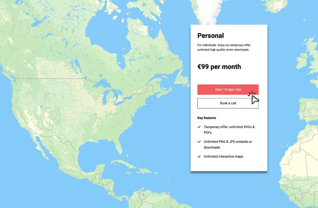
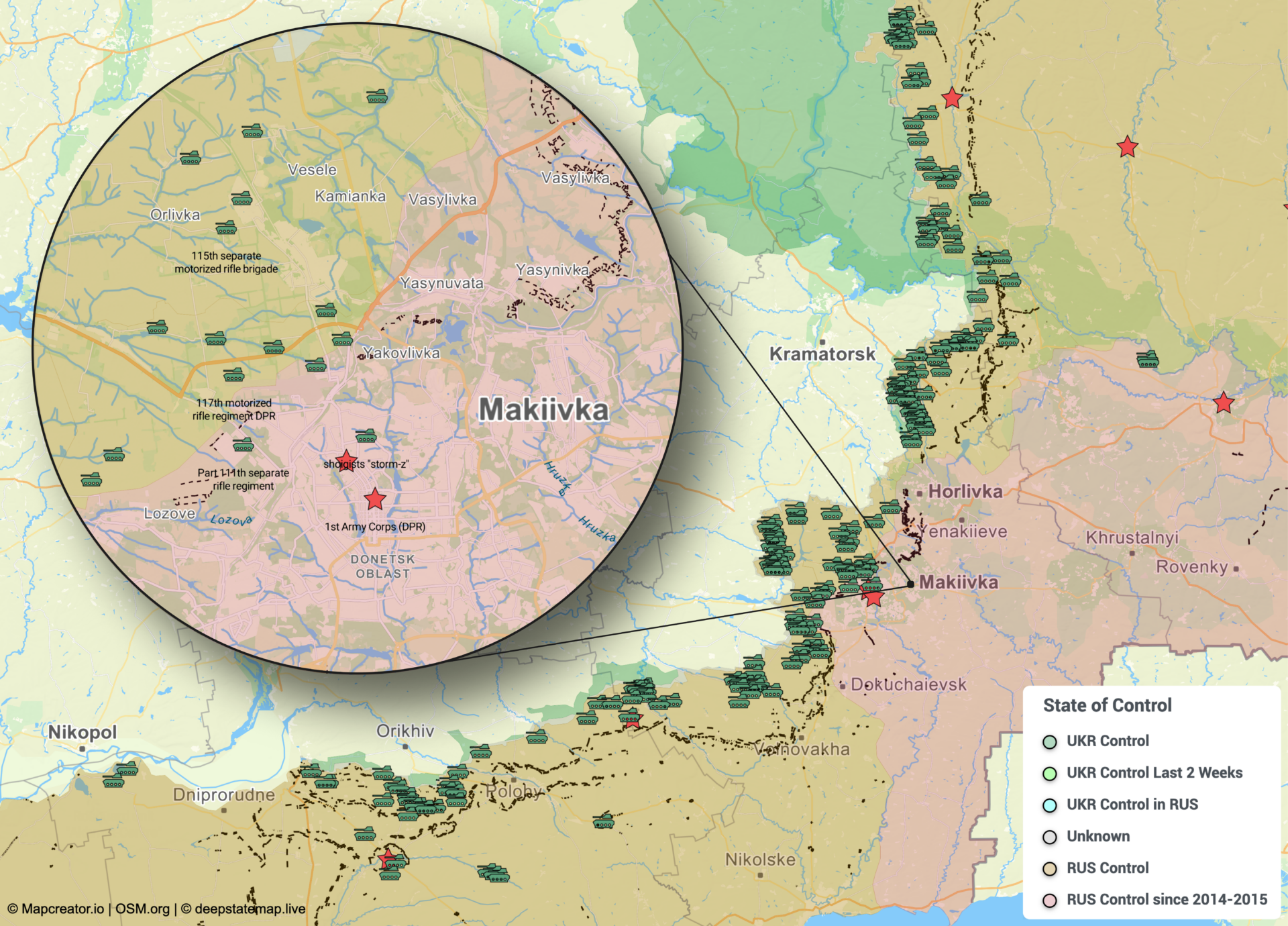
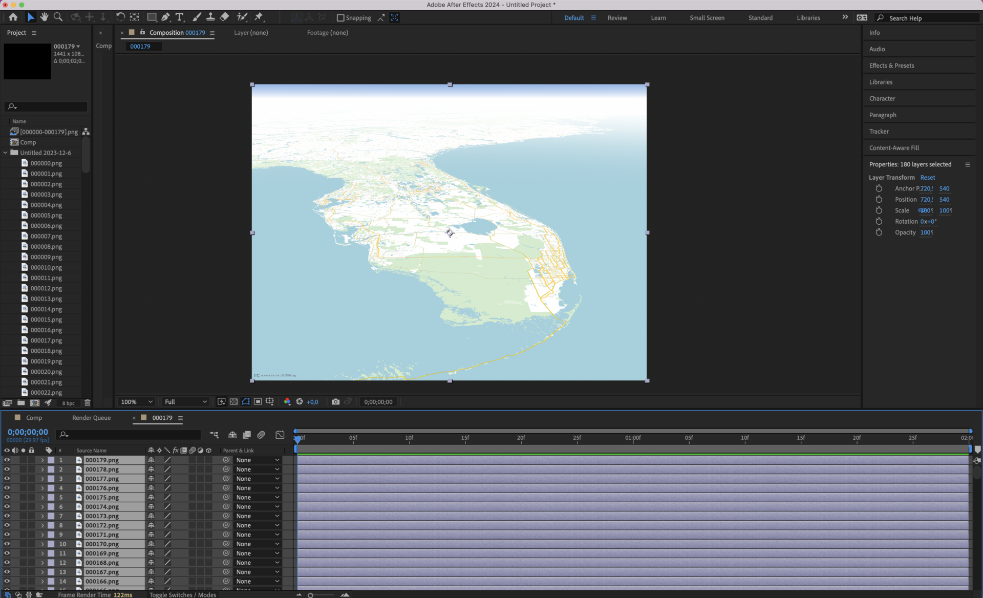
Maps are more than just tools for navigation; they’re a powerful way to tell stories, showcase data, and communicate ideas effectively. At Mapcreator, we understand that every project has unique needs. That’s why we offer extensive customization options, enabling you to create custom maps that reflects your vision. Whether it’s a one-time adjustment or custom […]

Read more

Unlimited interactive maps with Mapcreator’s new personal plan

For only €99 per month, users can now create unlimited interactive maps with our new personal plan. This plan offers a brand new, affordable and accessible way for everyone—from beginners to seasoned professionals—to explore Mapcreator. It’s the perfect entry point to get to know our platform. Plus, Mapcreator provides access to an extensive data library […]

Read more
New feature ✨

Folder management and map templates in Mapcreator Next

We hope you are enjoying and discovering all the exciting features of Mapcreator Next during this early bird phase! As we continue refining this new version, we’d like to take this opportunity to highlight one of its standout functionalities: the new dashboard and folder management tools. Designed to make your workspace more organized and efficient, […]

Read more
New feature ✨

Meet the Next generation of Mapcreator

The way we create maps is changing. After years of innovation, feedback and iterations, Mapcreator Next is here to redefine your mapping experience. This isn’t just a redesign—it’s a step forward in speed, usability, and functionality. Let’s take a look at the new interface, explore its groundbreaking features, and how you can transition to the […]

Read more

Mapcreator’s integration in nxtedition

We’re excited to share Mapcreator’s integration in nxtedition platform! With this collaboration, Mapcreator is bringing our accessible, intuitive mapmaking solution directly into the trusted enviorment of production teams. This partnership enables reporters, editors, and producers to create professional-grade, visually engaging maps within nxtedition, without needing specialized design skills. By embedding our HTML-based map solution, nxtedition […]

Read more

2024 US general election real-time reporting with Mapcreator

As the results of the November 5th, 2024, US general election continue to make headlines, we’re excited to share how Mapcreator played a significant role in real-time election coverage for news organizations across the globe. Among them, BBC, Amazon Prime Video and TVA, using Mapcreator to present election results with our real-time updating map, always […]

Read more

Map beautiful landmarks around the world with Mapcreator

In today’s digital world, maps are more than just geographical tools. They tell stories, visualize data, and you can bring unique elements to your projects. Whether you’re focusing on landmarks, natural features, or urban layouts, with Mapcreator you can take your maps to the next level. Use SVG imports, 3D buildings, 3D terrain or satellite […]

Read more
New feature ✨

Visualize the Russo Ukrainian War with Mapcreator’s live data layer

In times of conflict, accurate and up-to-date information is crucial and more important than ever. Your reporting can evolve alongside the situation with our live data layer dedicated to the Russo Ukrainian War. This powerful feature allows users to incorporate animated, static or interactive maps showcasing the conflict’s progression and shifts in area control, providing […]

Read more

The Power of Image Sequences: A Look Beyond MP4

In the dynamic world of mapping, the choice of export format for animations plays a big role in determining the quality and flexibility of your final product. While MP4 files have been a staple for video exports, there’s a compelling case for considering PNG sequences as a superior alternative. Let’s find out why image sequences […]

Read more

Real-time US general election maps with Mapcreator

As the US general elections on November 5th 2024 approach, news outlets, journalists, and broadcasters are getting ready to provide comprehensive and dynamic coverage. With a high-stakes election on the horizon, it’s essential to have the right tools in place to present real-time data accurately. From web embeds, live broadcast presentations or static visuals for […]

Read more

How To Create an Interactive Map from a Spreadsheet in Mapcreator

If you think interactive maps are too complex, time consuming or you won’t be able to do it on your own – think again! With Mapcreator, you can turn your spreadsheet into a data filled interactive map in minutes. And the best thing? You don’t need any coding skills, prior experience or professional assistance. Interactive […]

Read more

Earthquake Live Data Layer Create Real-Time Maps with Mapcreator

Keeping track of recent earthquakes and their impact has never been easier with Mapcreator’s Earthquake Live Data Layer. Whether you need the latest data for research, media reporting, or public awareness, this feature ensures you have the most up-to-date information at any time. In this article, you’ll learn how to create a map showcasing recent […]

Read more

Tour de France Femmes 2024 Ready-to-Use Maps in Mapcreator

Tour de France Femmes 2024 is scheduled between August 12 and August 18, 2024, with this year’s race covering 946.3km across eight stages. For fans, teams, and journalists, having precise and ready-to-use maps is crucial for following the event closely. Mapcreator is here to simplify and enhance your TdFF 2024 reporting!  Fast & Easy Coverage […]

Read more
New feature ✨

Overlay Map Animations, New Alpha Channel Rendering Feature! 

We’re excited to reveal a new enhancement to your animated mapping experience – the all-new Alpha Channel Rendering feature. With Alpha Rendering directly in our tool you can now integrate your mapping animations into all of your videos and reportings. This feature opens up a world of possibilities for creative applications, transforming the way you […]

Read more

See the World Differently: a Guide to Colorblind-friendly Maps

In today’s constant flow of information, companies are competing for the attention of every viewer. However, many of them overlook the accessibility of design and miss out on the significant part of the audience. Are your maps easy to read? Let’s check it in this article and learn how to make Colorblind-friendly maps! This statistic […]

Read more

This content is available in English

Would you like to switch?

Diese Inhalte gibt's auch auf Deutsch

Möchtest du wechseln?

Contenu disponible en français

Changer de langue ?

Esta página está disponible en español

¿Te gustaría cambiar?

Deze pagina is ook beschikbaar in het Nederlands

Zullen we je doorverwijzen?