Süddeutsche Zeitung – Glacier collapse below Langtang Lirung in Nepal
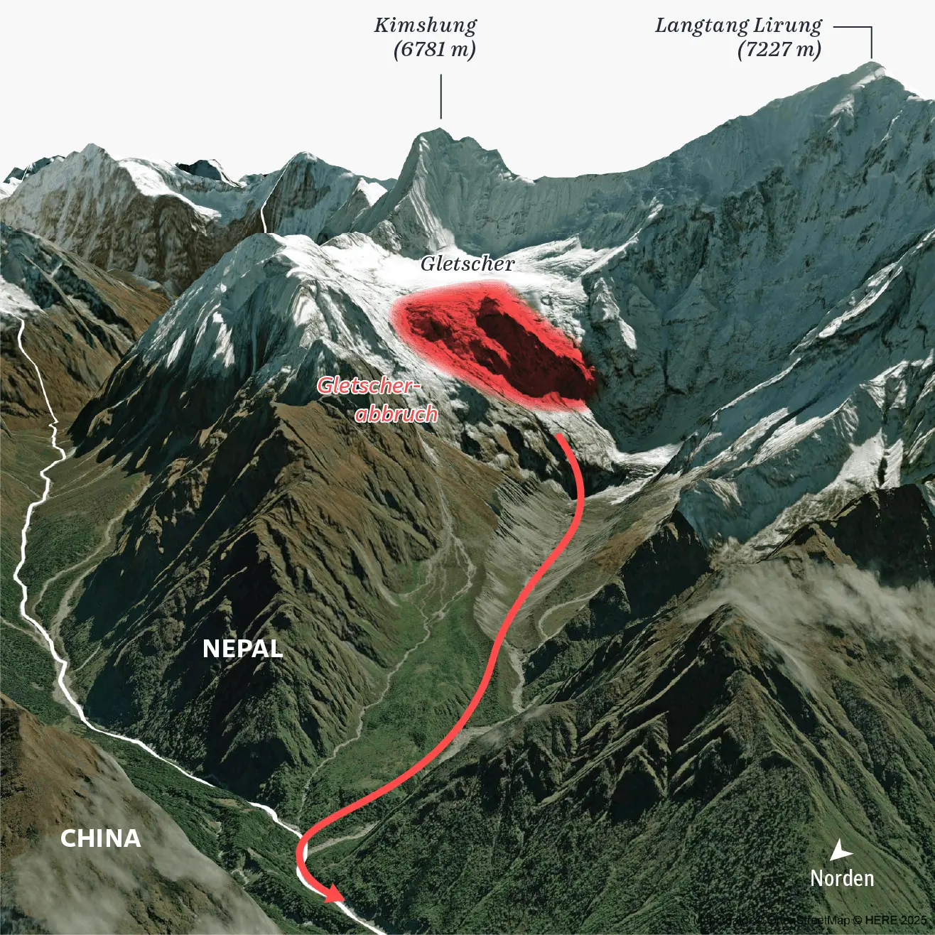
A 3D satellite-style terrain map of the mountainous Langtang region in Nepal, close to the border with China. The peaks of Kimshung, at 6,781 metres, and Langtang Lirung, at 7,227 metres, are labelled above the surrounding mountain range. A glacier is visible between the peaks, with a large red highlighted area marking the site of a glacier collapse, labelled “Gletscherabbruch.” A thick red line and arrow trace the path down the valley from the collapse toward lower elevations, while a white line marks the Nepal-China border.
The perspective view emphasizes the steep terrain and scale of the surrounding Himalayan landscape.
Don't forget to share this post!
Similar Satellite maps
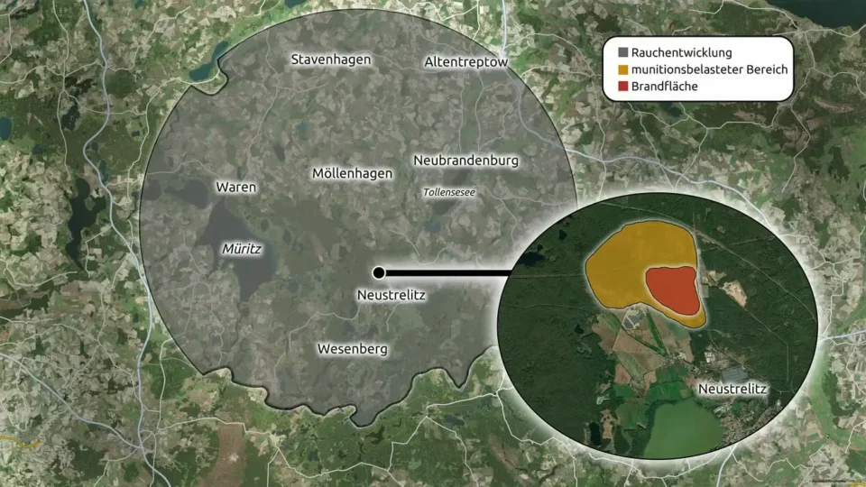
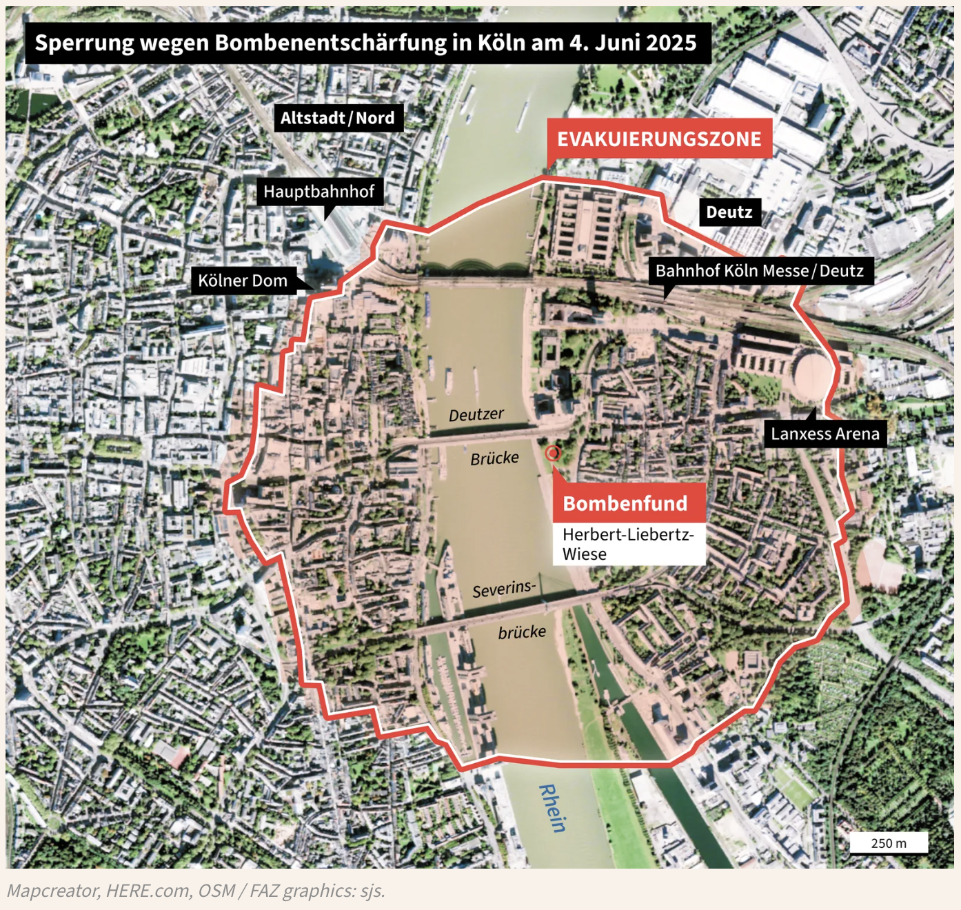
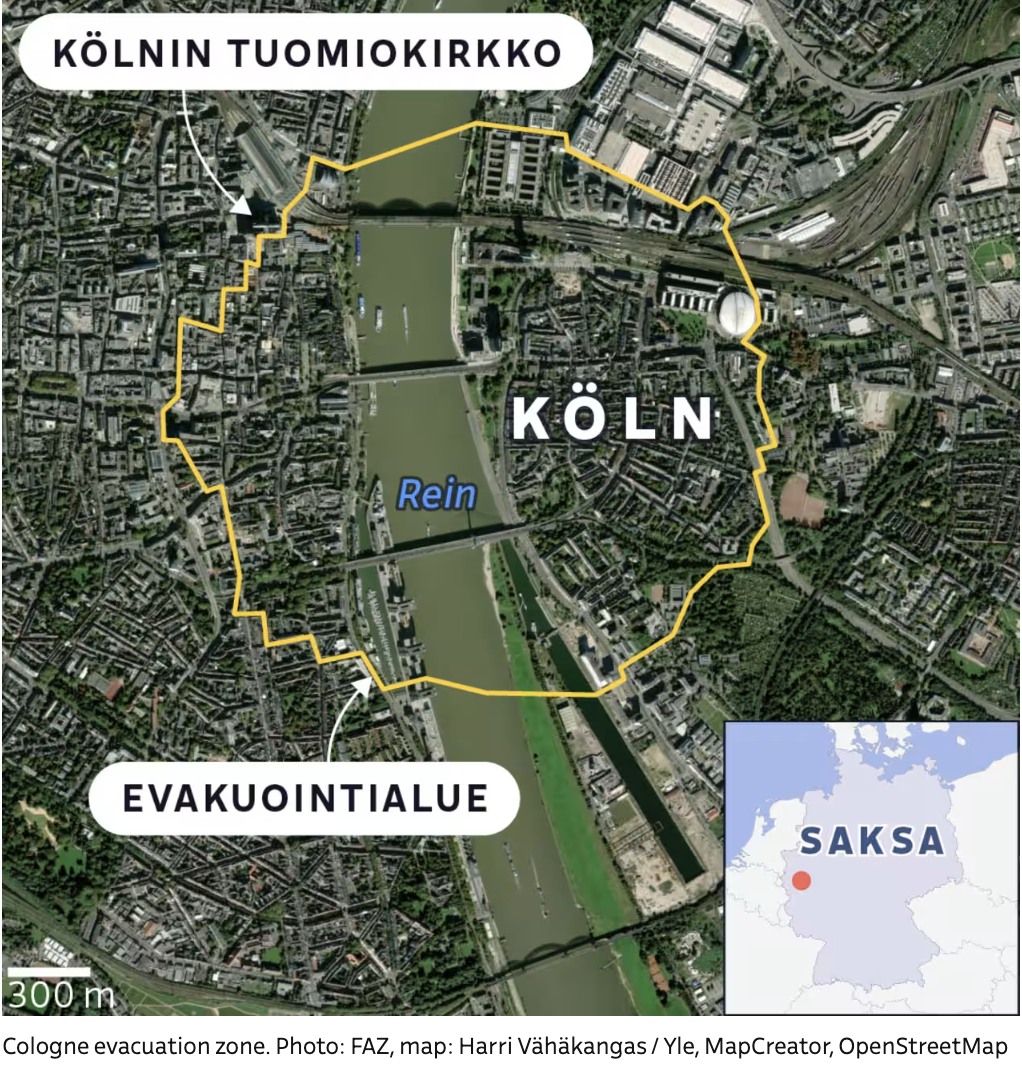
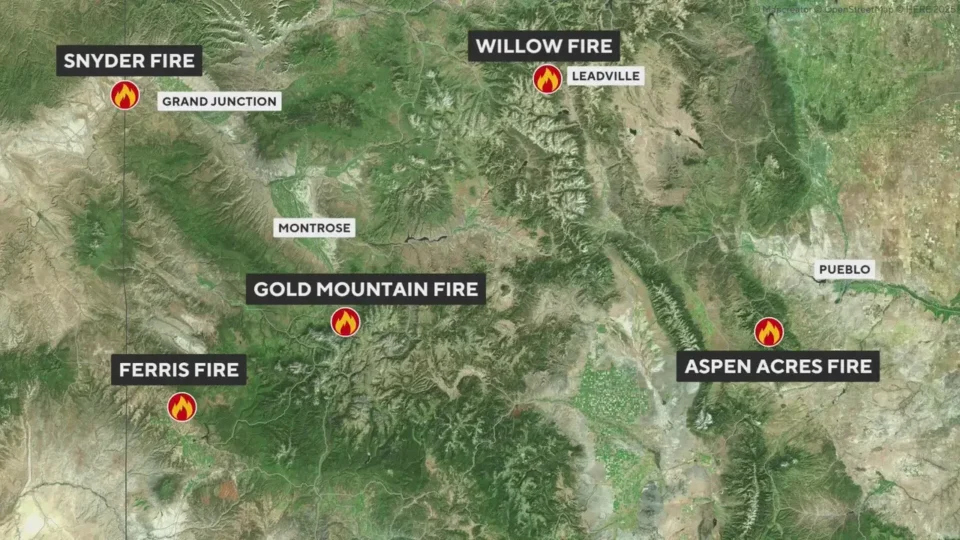
Explore beautiful, clear maps created by real teams in media, real estate, government, and more. Each one tells a unique story with location.