
WSOC TV – Flight Routes and Travel Connections in the Southeastern U.S.
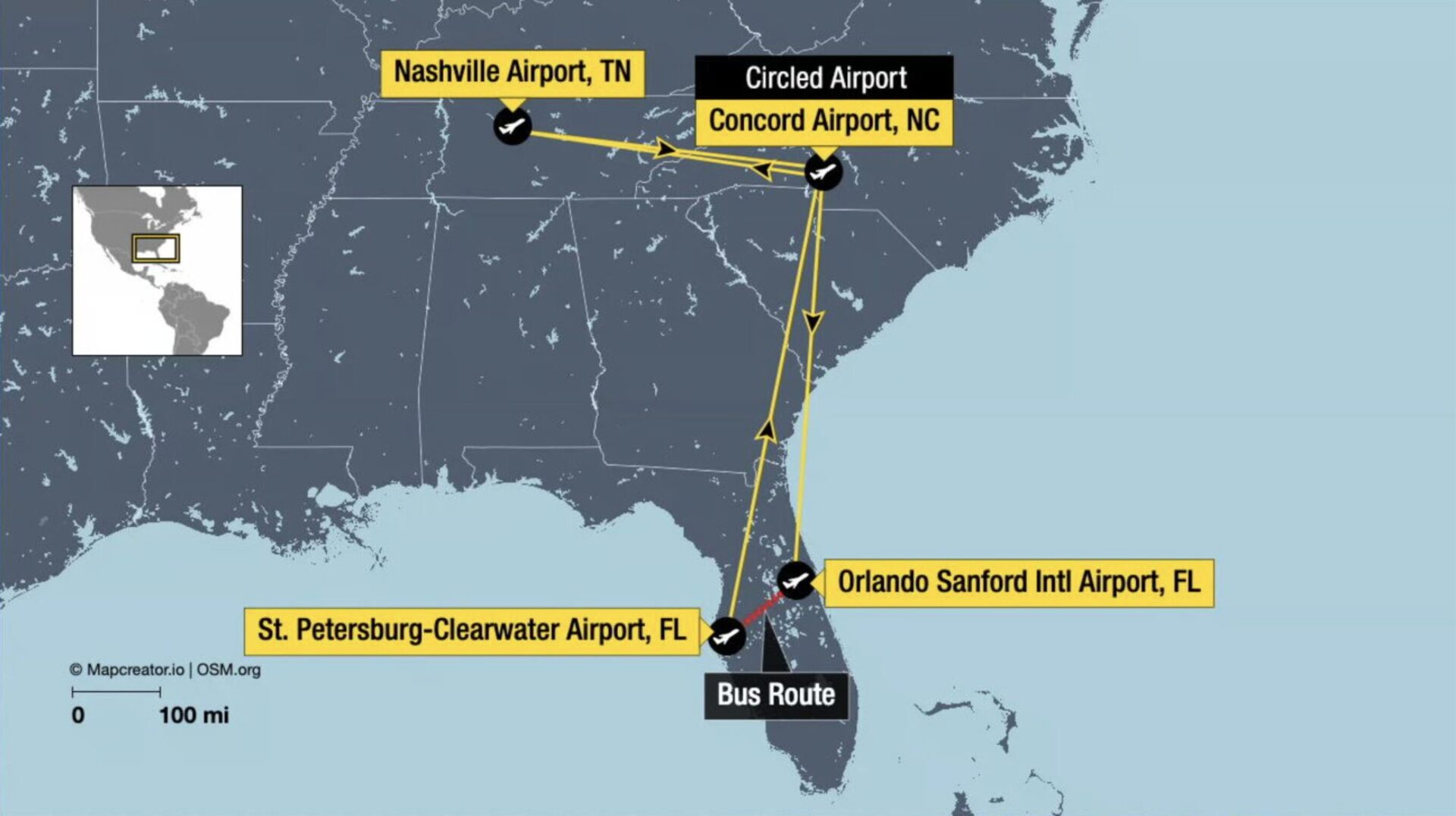
The map illustrates the southeastern United States with a focus on regional air and ground travel routes. Key airports marked include Nashville Airport (TN), Concord Airport (NC), Orlando Sanford International Airport (FL), and St. Petersburg-Clearwater Airport (FL). Yellow lines trace the flight paths between these locations, while a red line indicates a bus route connection in Florida. An inset map shows the broader North American context, situating the region within the continent. The map uses clear labeling and a scale of 0–100 miles for reference.
Don't forget to share this post!
Similar Flight maps
Explore beautiful, clear maps created by real teams in media, real estate, government, and more. Each one tells a unique story with location.