Omaha World-Herald – Greenland’s True Size Compared to the United States
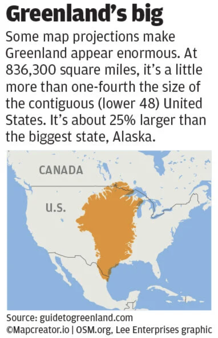
This infographic highlights Greenland’s true size compared to the contiguous United States. The map features Greenland as an orange overlay placed centrally over the U.S. and parts of Canada, demonstrating its scale. Text at the top explains how some map projections exaggerate Greenland’s size. It notes Greenland’s actual area of 836,300 square miles, making it slightly more than one-fourth the size of the contiguous U.S. and about 25% larger than Alaska, the biggest U.S. state.
Don't forget to share this post!
Similar Locator maps
Explore beautiful, clear maps created by real teams in media, real estate, government, and more. Each one tells a unique story with location.