CNN – Locator map of Tanzania in reference to Africa
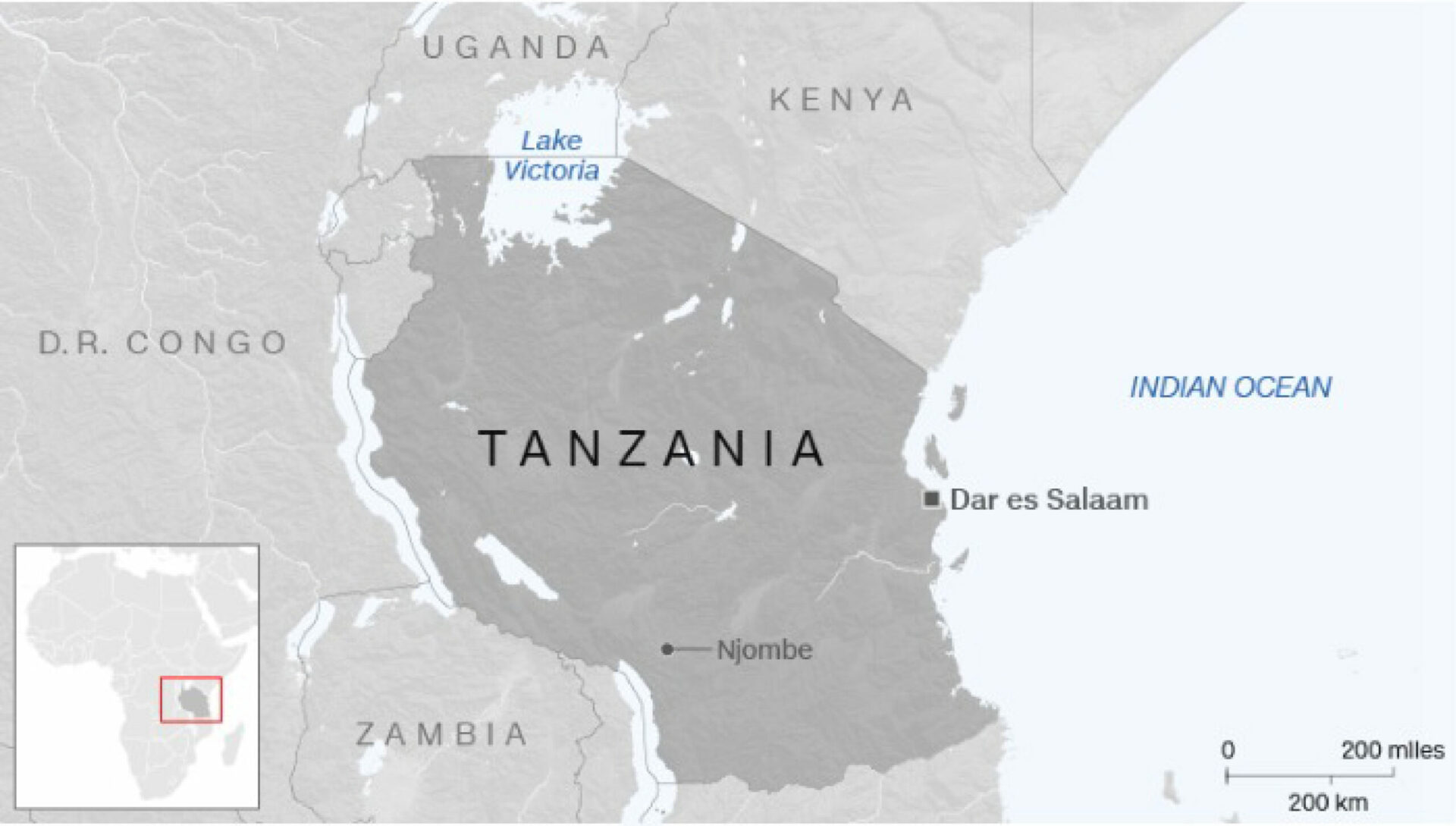
This image is a locator map of Tanzania. The map focuses on Dar es Salaam, a city in Tanzania and Njombe, which is the capital of the region Njombe. The shape of Tanzania is slightly darker gray than the surrounding countries.
Neighboring countries Zambia, Dominican Republic of Congo, Uganda and Kenya are also labeled. The water labels are added for the Indian Ocean and Lake Victoria between Uganda, Kenya and Tanzania.
On the bottom left, an inset map indicates where this story is taking place. On the bottom right there is an inset map marking 200 kilometers or 200 miles.
Don't forget to share this post!
Similar Locator maps
Explore beautiful, clear maps created by real teams in media, real estate, government, and more. Each one tells a unique story with location.