


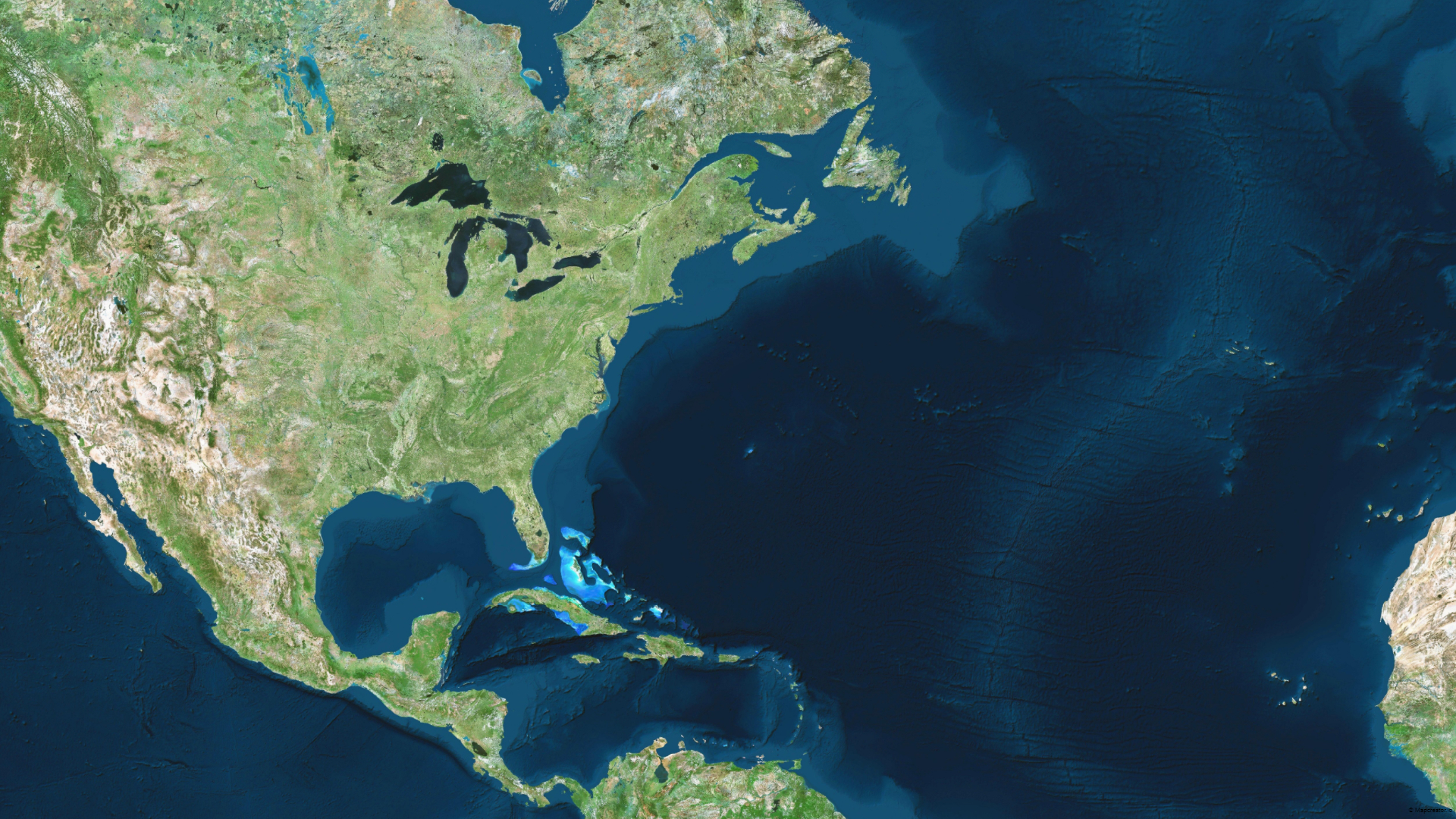
Visualize your story with satellite imagery from HERE Technologies
Mapcreator provides a full global base map to our subscribers. Visualize and create maps anywhere in the world with high resolution photorealistic quality. Satellite imagery Mapcreator uses global satellite and aerial imagery provided by HERE Technologies. HERE provides Mapcreator some of the sharpest and up-to-date imagery through a strategic partnership with Maxar. The imagery is […]
Read more


