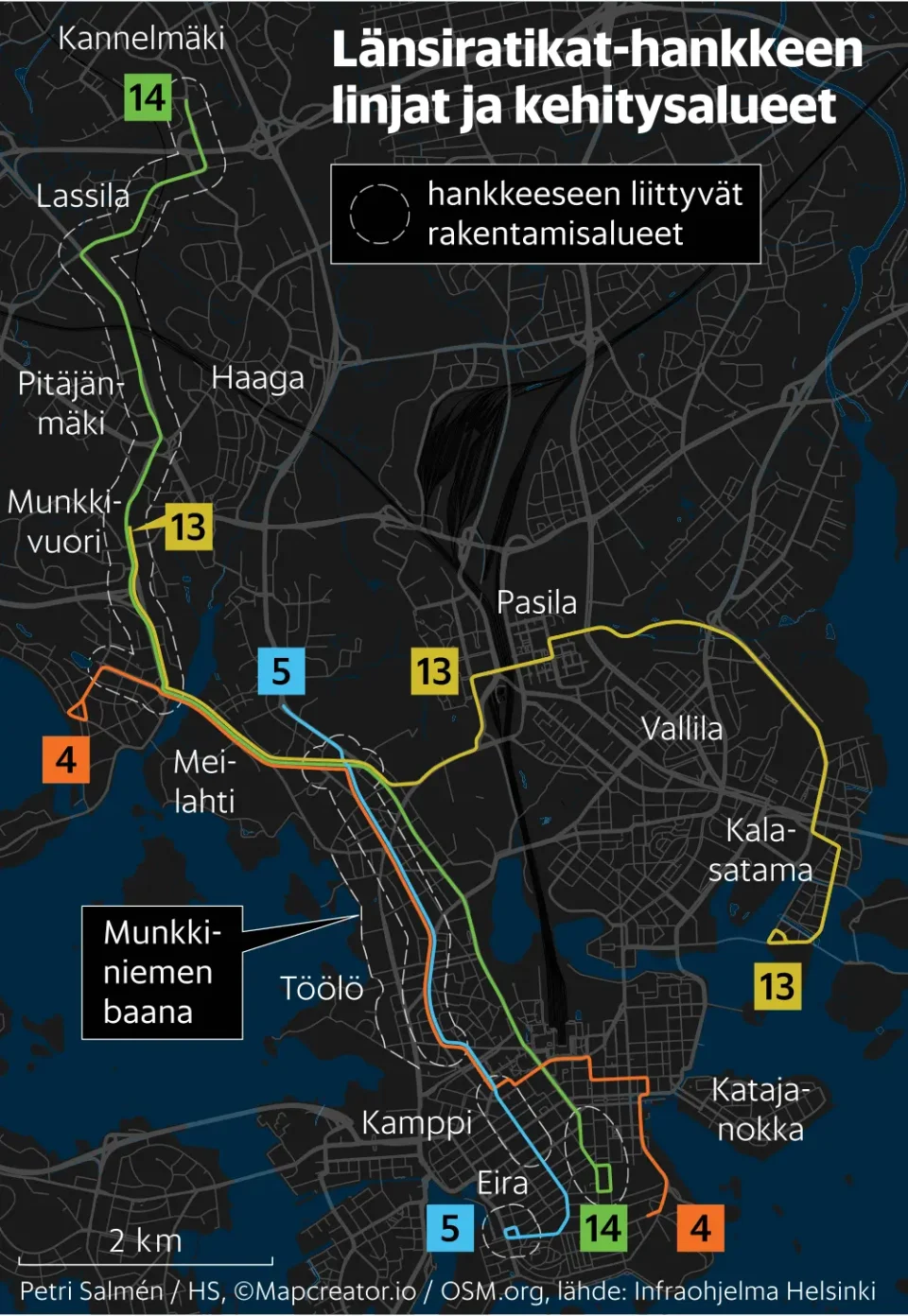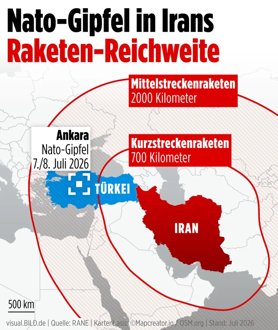
Süddeutsche Zeitung – Planned Tram West Tangent Route in Munich
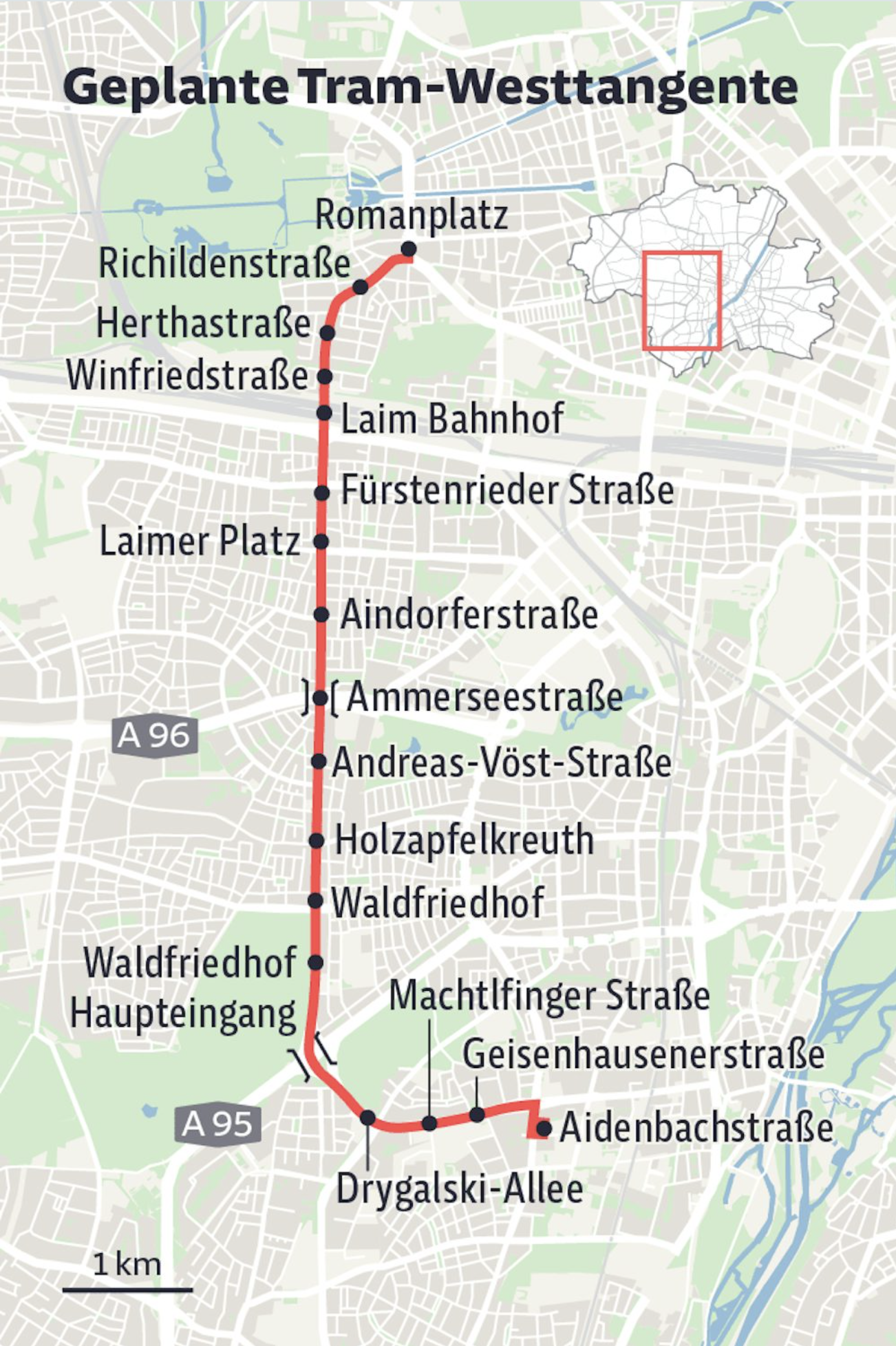
A detailed city map of Munich illustrates the planned “Tram-Westtangente” public transport line. The proposed tram route is highlighted in red, running north to south through western Munich. Black dots mark planned stops, including Romanplatz, Richildenstraße, Herthastraße, Winfriedstraße, Laim Bahnhof, Fürstenrieder Straße, Laimer Platz, Aindorferstraße, Ammerseestraße, Andreas-Vöst-Straße, Holzapfelkreuth, Waldfriedhof, Waldfriedhof Haupteingang, Drygalski-Allee, Machtlfinger Straße, Geisenhausenerstraße, and Aidenbachstraße. Major roads such as the A96 and A95 motorways are labeled, and a small inset map shows the route’s location within Munich. A scale bar indicates a distance of one kilometer.
Don't forget to share this post!
Similar Data visualization maps
Explore beautiful, clear maps created by real teams in media, real estate, government, and more. Each one tells a unique story with location.