


IS – Major earthquakes strike northern Venezuela
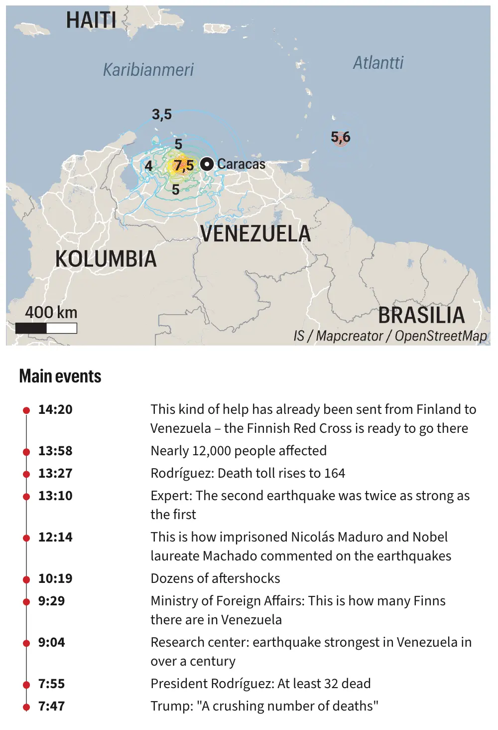
This earthquake map focuses on northern Venezuela and the Caribbean Sea, showing two offshore earthquake epicentres and intensity contours extending inland toward Caracas. Coloured contour lines indicate different levels of ground shaking, with the strongest intensity concentrated near the epicentre northwest of Caracas. Labels identify neighbouring countries including Colombia, Brazil, and Haiti, while a timeline beneath the map summarises key developments, including casualty updates, aftershocks, and emergency response throughout the day.



