Ilta-Sanomat – Anchorage Map Reveals Surprising Finnish Connection Ahead of Trump / Putin Meeting
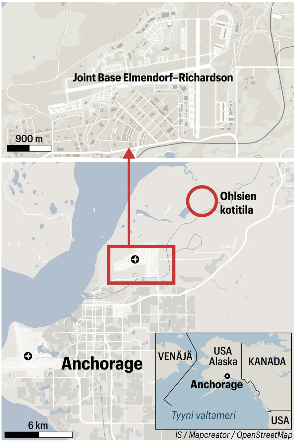
A detailed map showing Anchorage, Alaska, and its surroundings. The map highlights Joint Base Elmendorf–Richardson, located just north of the city, with its runways and military housing areas clearly marked. A red box and arrow zoom into the base’s location relative to Anchorage. To the northeast, a red circle indicates the location of “Ohlsien kotitila” (Ohlsien homestead), suggesting a Finnish connection in the region. Anchorage’s street grid and coastline are visible, as well as two nearby airports marked with airplane icons. The bottom-right inset map shows Alaska’s location in relation to Russia, Canada, and the Pacific Ocean, situating Anchorage on the geopolitical map.
Don't forget to share this post!
Similar Locator maps
Explore beautiful, clear maps created by real teams in media, real estate, government, and more. Each one tells a unique story with location.