
Ilta Sanomat – Vehicle Attack on Parade Crowd in Liverpool
This two-part image includes:
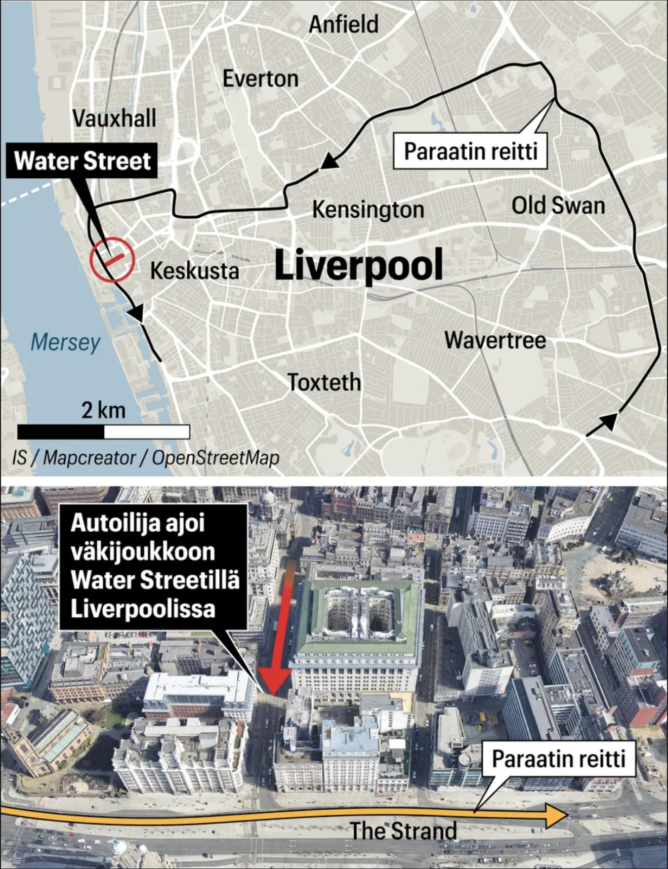
Top Map: A street map of Liverpool highlighting the “Paraatiin reitti” (parade route) through various neighborhoods like Kensington, Old Swan, and Wavertree. Water Street is marked with a red circle and labeled as the incident location.
Bottom Aerial View: A satellite-style image showing central Liverpool buildings near The Strand. A large red arrow points to the precise location where the vehicle drove into the crowd. A yellow arrow traces the nearby parade route. Finnish annotations explain the event, including “Autoilija ajoi väkijoukkoon Water Streetillä Liverpoolissa” (A motorist drove into a crowd on Water Street in Liverpool).
Don't forget to share this post!
Similar Data visualization maps
Explore beautiful, clear maps created by real teams in media, real estate, government, and more. Each one tells a unique story with location.


