
FAZ – Toll Road Map, Toll Calculation and Traffic Flow in France
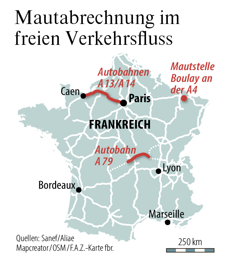
The map of France focuses on toll collection systems integrated into free-flow traffic. Key highways such as the A13/A14 connecting Caen and Paris, the A79 near central France, and the Boulay toll station on the A4 are highlighted in red. Major cities like Paris, Lyon, Marseille, Bordeaux, and Caen are labeled, providing context for the toll roads’ geographic distribution. The map also includes a scale bar for distance estimation.
Don't forget to share this post!
Similar Data visualization maps
Explore beautiful, clear maps created by real teams in media, real estate, government, and more. Each one tells a unique story with location.


