
BNN – Traffic routing during construction at the Schlossplatz tunnel in Karlsruhe
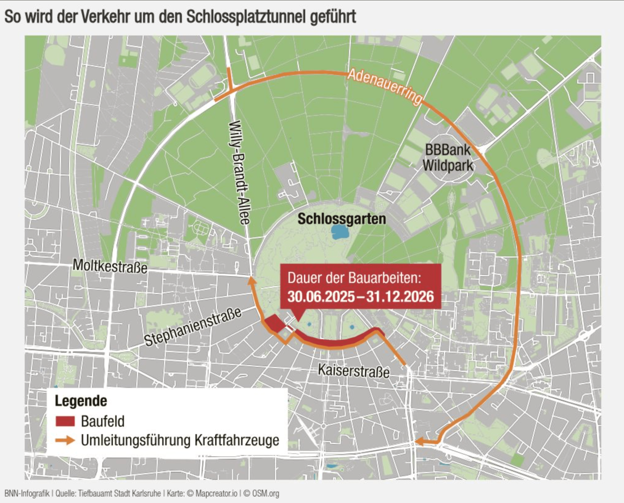
This is a German-language traffic diversion map of central Karlsruhe, focused on planned construction and detours around the Schlossplatztunnel, adjacent to the Schlossgarten (Palace Garden).
Key Visual Elements:
Highlighted Zone in Red (“Baufeld”):
The construction site area, primarily affecting the southern portion of Schlossplatz near Kaiserstraße.
Orange Arrows (“Umleitungsführung Kraftfahrzeuge”):
Detour route for motor vehicles. It diverts traffic along:
Adenauerring (eastern/northeastern ring)
Moltkestraße, Stephanienstraße, Willy-Brandt-Allee and more.
Landmarks labeled:
Schlossgarten (centered green area)
BBBank Wildpark (stadium/arena near Adenauerring)
Duration box (in red):
“Dauer der Bauarbeiten: 30.06.2025 – 31.12.2026”
(Construction duration: June 30, 2025 – December 31, 2026)
Legend (bottom left):
Red: Baufeld (construction zone)
Orange arrows: Vehicle detour routes
Don't forget to share this post!
Similar Data visualization maps
Explore beautiful, clear maps created by real teams in media, real estate, government, and more. Each one tells a unique story with location.


