Make maps that actually make sense
An easy-to-use mapping tool that does come loaded with exactly the features you need. Nothing superfluous.
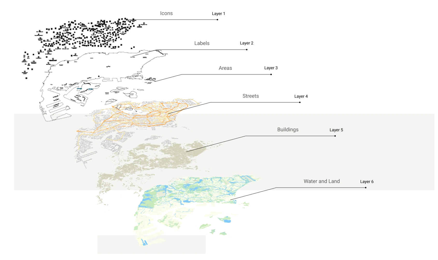














Annotate and customize
Add markers, lines, routes, and labels to tell your story visually. Highlight key points, draw regions, and keep your audience focused with clear, accurate maps. Rely on Mapcreator’s smart label placement to never have any important labels cut or overlapped on the map while you can focus on the story you want to tell.
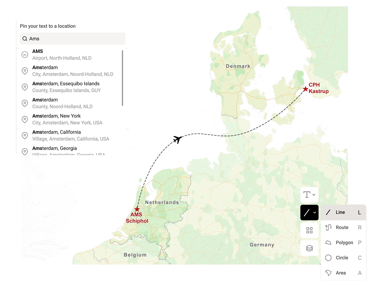
Import your data instantly
Upload a spreadsheet, KML, or GeoJSON file and watch your data appear on the map. Perfect for anyone who values time-saving drag & drop over time-consuming and error-prone manual editing. Prefer to work with Mapcreator’s data? You can connect live data layers to keep your maps automatically updated with the latest information, ensuring your visuals always reflect real-time changes and insights.
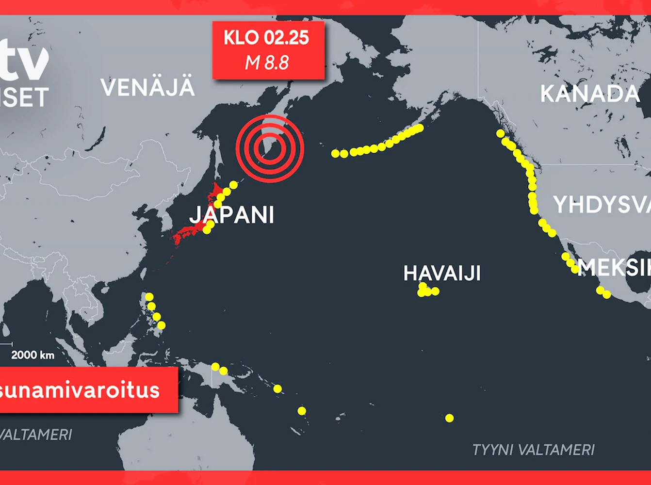
Make it yours
Every brand has its own look, and so should your maps. With Mapcreator, you can customize your map style to match your visual identity in every detail. Adjust colors, fonts, labels, and icons to create a consistent, recognizable design. If you want a unique map style, our in-house team can help you craft one that perfectly fits your brand.
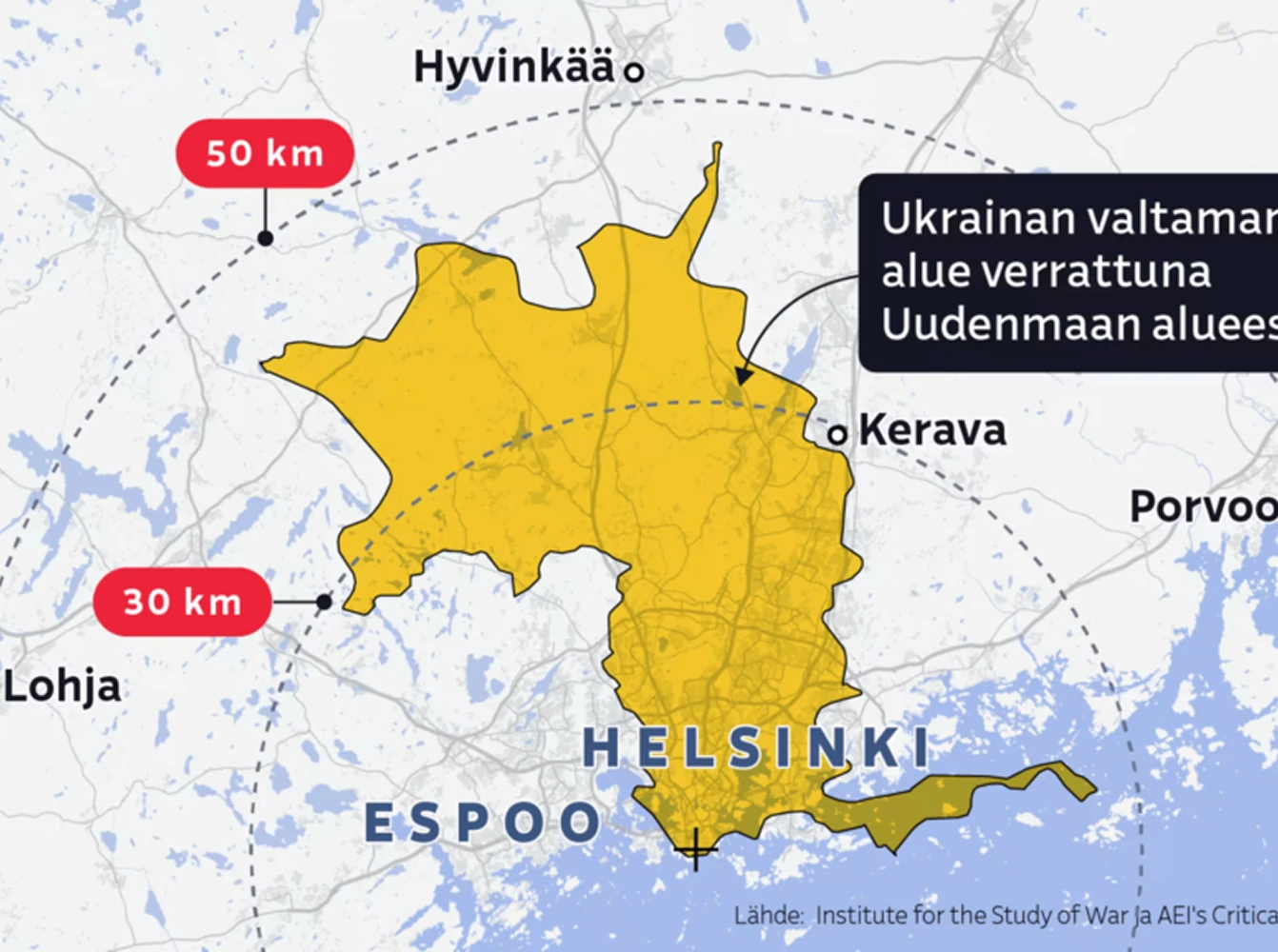
Share anywhere
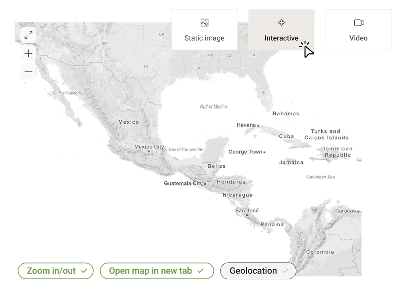
Export your maps as SVG, PDF (CMYK), PNG, or JPG. Refine SVGs in Illustrator or print high-quality PDFs. Need motion? Create map animations in MOV, MP4, or as an image sequence. For the web, embed interactive maps or share them via a link.
Trusted by teams across industries.
Mapcreator helps teams in many industries turn complex information into clear, reliable visuals. Whether it’s breaking news, travel routes, or real estate listings, our users count on accurate maps that look great and are easy to create.
Fast, accurate storytelling
Create location maps within minutes using live data layers and quick annotations that keep your stories current and clear.
Always reliable
Trust Mapcreator for accuracy and clarity so you can focus on what matters most: telling the story.
Visual consistency
Clear, consistent maps build reader trust and strengthen your newsroom’s visual identity.
Built for motion
Use auto-keyframing and export animations without post-production, ready for broadcast.
Dynamic data layers
Display real-time data like wildfires, wars or election results with automatic updates.
Branded maps stand out
Branded maps enhance storytelling and make your channel instantly recognizable.
Context that sells
Show properties with nearby amenities, schools, and transport links.
Seamless data import
Upload property data via drag & drop and visualize listings in seconds.
Bring listings to life
Animations showing routes or walk-throughs bring properties and surroundings to life.
Visualize critical data
Combine datasets to identify patterns, exposure zones, or asset clusters.
Real-time monitoring
Connect live feeds to track risks as they change.
Accurate maps, safer operations
Keep people informed with reliable, accurate maps they can trust.
Map smarter now.
No spam, just high-quality mapping insights. Unsubscribe anytime.
Frequently asked questions
Got a question? Start with these essential FAQs, or explore our Knowledge Base for more Mapcreator guidance.
Can I create professional maps without GIS experience?
Yes. Mapcreator is built for teams that need high-quality maps without using complex GIS software. You can search locations, add labels, draw routes or regions, import data, and export finished maps from one easy web-based tool.
What types of maps can I create with Mapcreator?
You can create city-level maps, Satellite maps, locator maps, branded editorial maps, route maps, data-driven maps, interactive web maps, and animated maps. It works for quick visuals as well as more detailed maps for news, real estate, tourism, marketing, and location intelligence.
Can I customize maps to match my brand?
Yes. You can switch map styles, adjust colors, fonts, labels, icons, and other visual elements so your maps match your brand.
How can I use or export the maps I create?
You can export maps as SVG, PDF, PNG, or JPG for digital, print, and design workflows. You can also create animations, embed interactive maps on the web, or share maps through a link.