


Scaling map creation across the CBS newsroom
Matt Quinn is the Creative Director at CBS, where maps play an important role in helping news teams bring fast-moving stories into geographic context. With hundreds of maps created across CBS each week, he has seen how making map creation more accessible to producers can help teams move faster while keeping visuals consistent and on-brand.
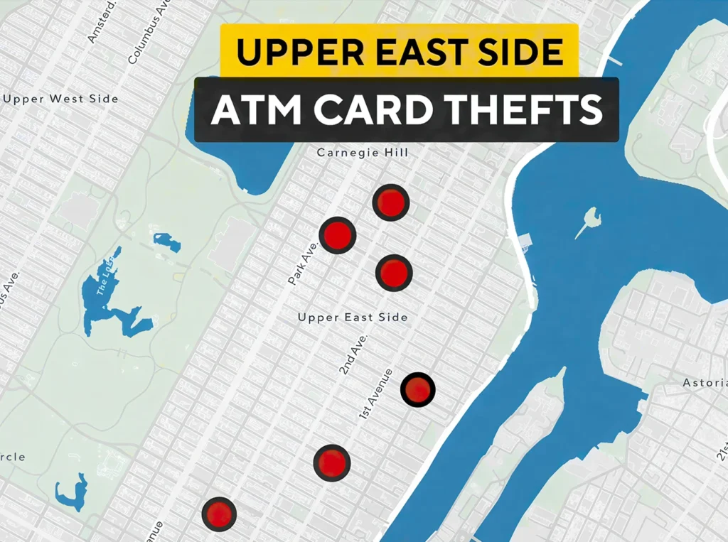
Today, more than 350 users across CBS owned-and-operated stations have access to Mapcreator. Map creation is mainly handled by producers, putting the ability to create and update maps directly into the hands of the people closest to the story.
“Mapcreator helps CBS make map creation faster, more accessible, and easier to keep on-brand across the newsroom.”
How does Mapcreator fit in?
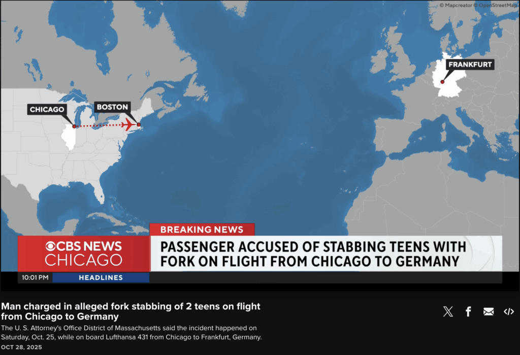
With Mapcreator, CBS producers can create many maps independently, particularly for fast-moving and hyper-local stories, without waiting on a central design workflow.
At the same time, CBS-specific styles are already built into Mapcreator, helping maintain consistency across such a large number of users and outputs.
“Whether someone is using a satellite view or a more standard map style, the colors, icons, textboxes, and general look are already set up for us.”
This means producers can focus on the location and story details, while the map remains recognizably CBS.
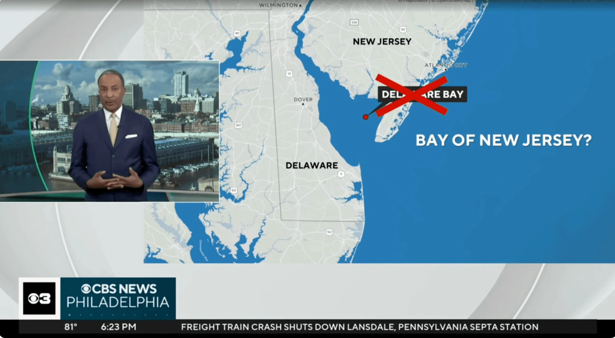
For straightforward location maps, CBS also uses Locator Map. A producer can search for a location, add context and export a map in minutes. Quinn estimates he could create a typical locator map “in under 2 minutes easily.”
More power to producers
Making routine map creation accessible to producers also reduces pressure on specialist design and graphics teams. Instead of spending time on repetitive requests, they can focus on more advanced visual storytelling, including animations and integrations of map graphics into AR/VR environments and Unreal Engine.
This gives CBS a workflow that can support both ends of the spectrum: a simple location map needed immediately and a more complex visual for a major broadcast story.
Mapping a fast-moving story
One moment in particular helped establish Mapcreator within the CBS workflow: the California wildfires in January 2025.
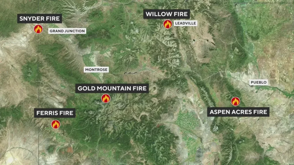
With conditions changing quickly, maps were essential for showing viewers where fires were burning and how affected areas were developing. Using Mapcreator’s live-data integrations, CBS teams could work with up-to-date information and turn it into broadcast visuals and animations.
“Some of the animations looked almost cinematic, but they were still created directly by a team member without needing a long custom graphics process.”
For Quinn, that coverage demonstrated how sophisticated map visuals could still be created at newsroom speed.
Immediate context for viewers
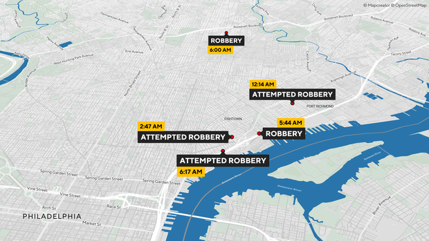
Ultimately, maps help CBS answer one of the first questions viewers have when a story breaks: where is this happening?
“Maps give viewers immediate context. They help answer one of the first questions people have during a news story: where is this happening? Is this close to my home?”
That geographic context can make complex or fast-moving stories understandable within seconds.
The verdict
For CBS, the biggest advantage is not only speed, but having a map workflow that fits naturally into the way the newsroom already operates.
“The biggest benefit is being able to create maps at newsroom speed while keeping them consistent and on-brand.”
Quinn also highlights the onboarding and ongoing support from the Mapcreator team: “It feels like working with real people who understand our newsroom, which makes a real difference when things move quickly.”
The result is more independence for producers, more room for specialist teams to focus on advanced storytelling, and a consistent mapping workflow that can move with the news.
Vergiss nicht, diesen Beitrag zu teilen!
Weitere Erfolgsgeschichten
Teams auf der ganzen Welt arbeiten mit Mapcreator täglich. Wie? Hier nachlesen.

Komplexe Krisendaten klar und überzeugend visualisieren
Die International Crisis Group suchte eine schnellere Verbindung zwischen Geodaten und Designsoftware. Jetzt nutzen sie Mapcreator.
Mehr lesen
Schnelle, markenkonforme Karten für Eilmeldungen erstellen
ActionNewsJax brauchte eine intuitive Kartenlösung, und Mapcreator unterstützt ihre schnelle, fristgetriebene Berichterstattung.
Mehr lesen
Mapcreator half, aus einer Idee ein Besteller-Buch zu machen
Simon Weir brauchte eine Möglichkeit, detaillierte, hochwertige & druckfertige Karten für sein Motorrad-Reisebuch zu erstellen.
Mehr lesen
Wirkungsstarke Karten für schnell getaktetes Broadcasting gestalten
Bei RSI führte der Umbau der News-Studios dazu, Kartendesign fürs Fernsehen neu zu denken. Im Fokus: Klarheit, Tempo und Storytelling.
Mehr lesen
Visuelles Storytelling leicht gemacht mit interaktiven Karten
USA Today setzt auf Mapcreator, um schnelle, präzise und packende Karten zu erstellen, die die Berichterstattung zu Eilmeldungen aufwerten.
Mehr lesen
Nachrichten mit klaren, ansprechenden Karten zum Leben erwecken
Die Braunschweiger Zeitung nutzt Mapcreator, um für unterschiedlichste Artikel der Lokalzeitung klare, ansprechende Karten zu erstellen.
Mehr lesen


