
Support decision-making and analytics with maps
Create maps to enhance reports and projects to the next level. Analyze and visualize data by using the power of maps, anywhere that location is part of your storytelling or decision-making.
Mapcreator can work with your department or agency and provide a securely-hosted solution for internal decision-making.


Simplify complex information
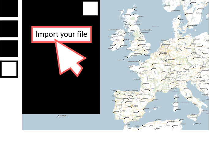
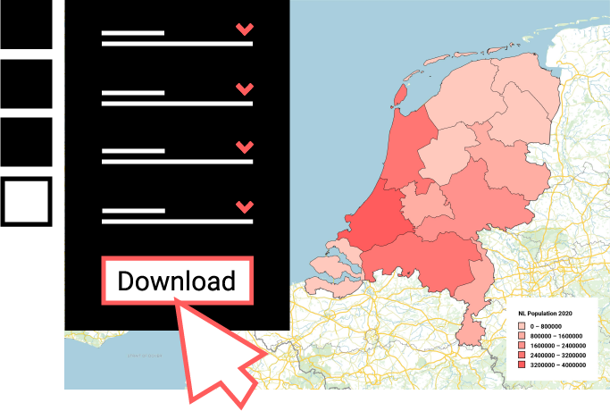
Create easy-to-understand maps that simplify data for effortless comprehension. Import your Excel sheets, KML, GPX or GeoJSON files with straightforward drag and drop actions. See your locations, coordinates and statistical data anywhere in the world come to life and tell your story more clearly with an interactive or static map.

Use our static and live data
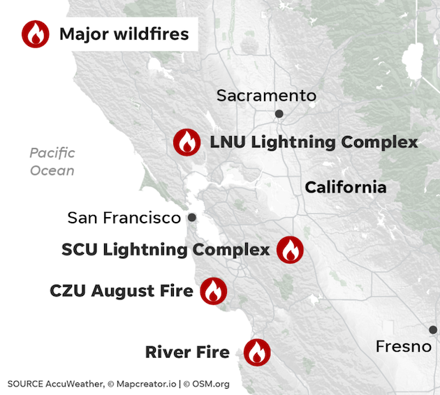
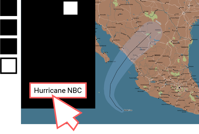
Mapcreator’s live data library includes real time natural hazard updates such as hurricanes, wildfires, earthquakes and many more. Show real time information updated from sources like USGS or NOAA on fully-interactive maps. Keep your citizens or organisations informed providing accurate and up-to-date information. Our live data is continuously updated every 30 – 60 minutes depending on the source.
Bring your own data
Drag & drop your own data sheet or use Mapcreator’s ready-to-use data sets. Mix it with our easy-to-use library of geolocated icons, markers, text, custom boundaries and more. Whether you want to link interactivity from your file, edit your data or file directly in the tool, visualizing new information has never been easier. From KML, GeoJSON, XLSX, CSV to KPX, custom routes, shapes or complex data visualizations – try it out for yourself.
Create maps without code
Say goodbye to codes, complex instructions or confusing interfaces! Mapcreator is a no-code solution developed for the needs of national, state, and local authorities. Our software is designed to be user-friendly and intuitive, to make mapping fast and straightforward for everyone—no matter their skill level. Whether you are creating maps for your internal decision making or to keep your citizens informed; get started now!
Developer APIs
Want even more? Mapcreator provides an API for your team, should you want to add on or develop more functionality with the platform. Our API provides control over your Mapcreator account and organizational settings, allowing you to seamlessly oversee all aspects. What are you waiting for, start to create dynamic maps tailored to your needs!
Frequently Asked Questions
Can I get a custom map style with the service?
The customization included in the service are the following: either you send us your own custom icons and route line options (color/transparency) or you pick our standard map settings and icons.
However, full customization of your map is possible as well as having a complete map style range based on your own brand identity with extra costs.
Can I get print-ready maps?
Yes. We can deliver high-quality print 300DPI (or less) maps in PNG, JPEG, SVG, PDF, PCX or BMP.
Can I see your API documentation?
Here is the link to our documentation: https://docs.mapcreator.io/