The Tour de France 2024 is fast approaching, and you can now start creating maps for your coverage on this year’s race. That’s why we’re excited to announce that our ready-to-use maps are now available! Create static, interactive, or animated maps; with our ready-to-use maps you will always have access to accurate and up-to-date information about the race. All 21 etappes can be found in our tool, export them as is or make interactive, animated or personalized maps on the Grand Cycle Tour.
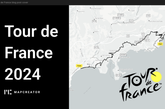
Fast & Easy Coverage of the Tour de France 2024
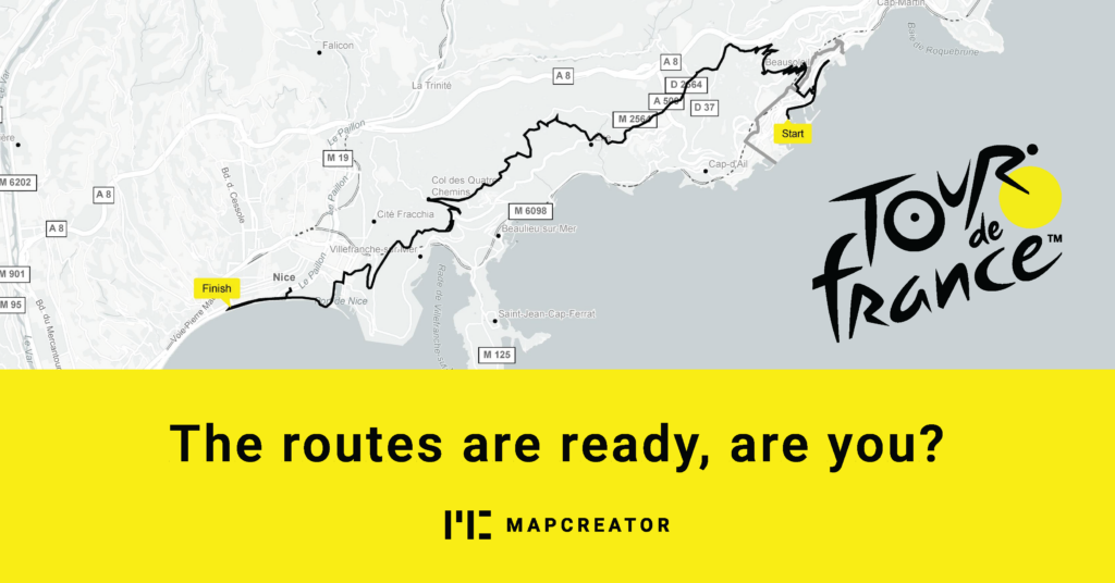
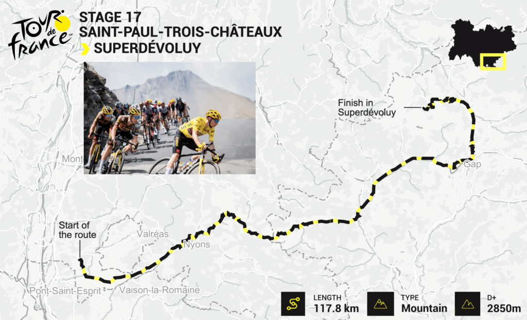
Ready-to-use maps make it easier than ever to broadcast or publish the Tour de France 2024. All 21 Etappes have been covered and the maps include the route itself, the start point and ending point, scale bar, the Tour de France logo and feature an inset map displaying the exact route location. These maps will give your viewers or readers a quick understanding of the race. With Mapcreator, making maps that are hors catégorie is a matter of minutes!

Customize in just a few clicks
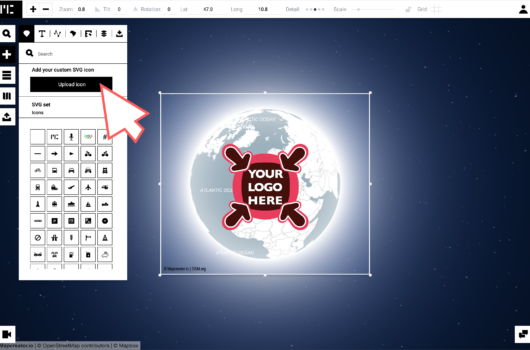
Mapcreator now offers even more customizable features. Before users could change the visible layers, satellite map styles to 3D terrain and animations and change the styling of existing markers. But now, even custom SVGs can be directly imported onto your map. From images, logos or custom icons, there is nothing holding you back. All design choices are in your hands to fully match your brand identity, allowing you to create stunning visuals following the yellow shirts along the Tour de France 2024! The example below has been fully created in Mapcreator, without any post-editing.
Animate Your Routes
Map animations used to be hard and complex, but with Mapcreator it can be just as easy as a static map. While static maps are great, why stop there? Animated maps can take your readers or viewers on a journey with the riders of the Tour de France 2024. Create dynamic route maps and animations in one tool without worrying about post-production. Share, embed, and broadcast your map animations with ease.
Where to Find These Ready-to-Use Maps?
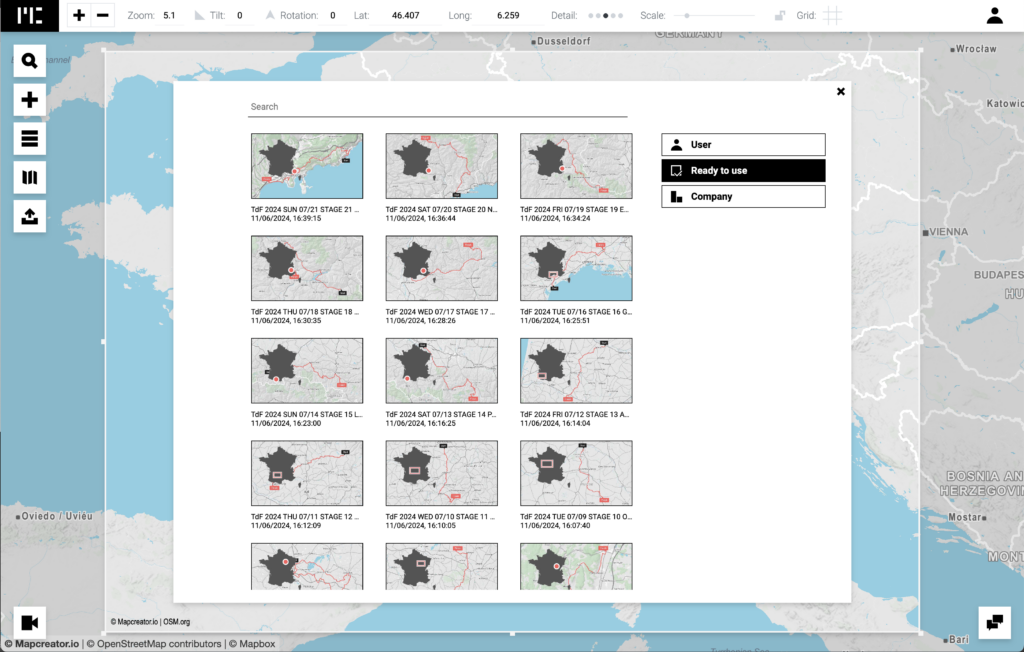
First, register with Mapcreator, or if you already have an account, just open the tool. From here, navigate to the Mapcreator logo in the top left corner of your screen. A pop-up will open showing your user maps, and below that, the ready-to-use maps. In this folder, you will find all the maps we have fully prepped for you.
You can now provide your readers or viewers with a visual overview of the race as they follow every detail closely. Our accurate, up-to-date, fast, and easy-to-use maps suit every format, from PDF (CMYK) for print, SVG for digital publications, interactive iframes and animations in WEBM, MOV, MP4, image sequences, and more!
What are you waiting for
Start creating your coverage of the Tour de France 2024 today. With our ready-to-use maps, there is nothing stopping you on visual coverage of le tour. Lay your focus on the peloton or the Tête de la course, you are the creative director. We can’t wait to see the amazing maps you will create!