CBC News – Neighbours and communities divided over Covid disputes
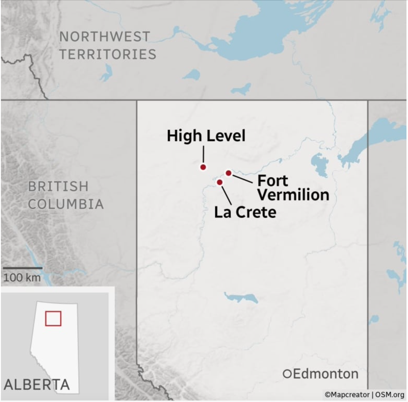
The image presents a map of Alberta, Canada, with specific locations marked. The town of High Level is identified in the northwestern region, near the border with the Northwest Territories and British Columbia. Fort Vermilion is indicated to the east of High Level, and under this, La Crete is also marked.
The map includes features such as a 100-kilometer scale and an inset map has a red rectangle showing the Northwest Territories in Alberta.
Additional labels suggest the inclusion of areas like the British Columbia province and the Alberta province itself. The map also marks the capital of Alberta, Edmonton.
Übersichtskarte